What is recorded here
Located at the bottom of a S-facing slope with the church of St. Feidhlimidh, and from 1454-c. 1860 the cathedral of the diocese of Kilmore (CV025-070004-) on the hilltop c. 120m to the N. A well is depicted on the 1835 and 1908 editions of the OS 6-inch map which is described as ‘St. Felimy’s Well’ in gothic lettering on both. The well was known in the folk tradition as one that would not ordinarily run dry but in the 1930s there was no memory of a pattern (IFC Schools’ Collection vol. 0977, 102-04, 111). The well was described in 1968 (SMR file) as a short passage leading to a corbelled well, but now the hillslope is retained by an E-W masonry wall (L c. 6m; H c. 2m), and this wall is surrounded by an iron railing with a gate at S leading almost immediately to a round-headed opening (Wth 0.75m; H 1.75m) in the wall. Three steps lead down to a short passage running E (L at S: 0.5m) to a circular well (diam. 0.95m; D 0.85m) with a corbelled roof that is now capped with concrete. There is no evidence of veneration.
Located at the bottom of a S-facing slope with the church of St. Feidhlimidh, and from 1454-c. 1860 the cathedral of the diocese of Kilmore (CV025-070004-) on the hilltop c. 120m to the N. A well is depicted on the 1835 and 1908 editions of the OS 6-inch map which is described as ‘St. Felimy’s Well’ in gothic lettering on both. The well was known in the folk tradition as one that would not ordinarily run dry but…
From the National Monuments Service (Archaeological Survey of Ireland) record CV025-072
The monument record does not grant public access. Check the route and ask the landowner before entering private land.
- What survives
- Recorded monument
Places near here
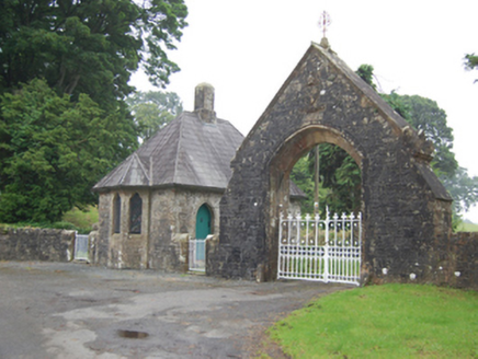 Kilmore CathedralGate lodge · 62 yd
 St Feidhlimidh CathedralCathedral · 83 yd
 Sycamore185 ydCastleCastle, motte and bailey · 185 yd
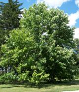 Cucumber Magnolia533 yd
 Rambling at Farnham EstateVisitor information · 1.7 miBellvilleMountain / peak · 2.0 mi
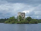 Cloughoughter CastleIsland castle ruin · 3.1 mi
 Lough OughterLake and island landscape · 3.1 mi
 Clogh Oughter CastleCastle, Anglo-Norman masonry castle · 3.2 mi
 Court tomb in GartnanoulCourt tomb · 3.8 mi
 Fin Mc Cools FingersStone row · 5.7 mi
Pictures: National Inventory of Architectural Heritage; Olliebailie, Wikimedia Commons · CC BY-SA 4.0; Christian Pirkl, Wikimedia Commons · CC BY-SA 3.0 at; Bruce Marlin, Wikimedia Commons · CC BY 3.0; Peter Gerken, Geograph · CC BY-SA 2.0; Oliver Dixon, Wikimedia Commons · CC BY-SA 2.0; Sarah777 at English Wikipedia, Wikimedia Commons · Public domain; Adam Simpson, Geograph · CC BY-SA 2.0; NTF30, Wikimedia Commons · CC BY-SA 4.0; Deadstar, Wikimedia Commons · CC BY-SA 4.0
More archaeology and monuments in County Cavan · All of County Cavan
What do you know about this place?