What is recorded here
Situated at the bottom of the E-facing foothills of the Monavullagh Mountains, c. 350m W of the NW-SE River Tay. The parish church of Kilrossanty (WA023-007001-) is within a D-shaped graveyard (WA023-007002-) defined by stone-faced earthen banks with straight N and E sides. The graveyard is part of a suboval or D-shaped ecclesiastical enclosure (WA023-007008-) (dims. c. 65m E-W; 42m N-S) defined by a curved scarp (H 0.9-1.2m) outside the graveyard NE-SE and the graveyard perimeter S-W.
At the base of the scarp at E are three holy wells. Tober Brigid is a subcircular well (dims. 0.85m x 0.7m; D 0.7m) with a lintel over the outflow to the N-S stream from Tober Mhuire c. 15m to the N. Tober Íosa (WA023-007006-) is just to the S. There is no evidence of veneration, but in the 1840s offerings were left at the W wall of the church (O'Flanagan 1929, 36-7). (Power 1897b, 6-9; Power 1938a, 64-5)
O'Flanagan, M. (Compiler) (1929) Letters containing information relative to the antiquities of the county of Waterford collected during the progress of the Ordnance Survey in 1841. Typescript. Bray.
Power, Rev. P. (1897b) The ancient ruined churches of Waterfoed. WAJ 3, 3-12, 72-8; 216-227.
Power, Rev. P. (1938a) Some old churches of Decies, JRSAI, 68, 55-68.
Date of upload: 25th March, 2011. Compiled by: Michael Moore.
St. Bridget's Well is associated with St. Brigid of Kildare, a prominent early Irish saint linked to healing and fertility. Traditionally, the well was visited for its curative properties, particularly for ailments of the eyes and to ensure safe childbirth, with rituals often involving the collection of water on specific holy days.
The monument record does not grant public access. Check the route and ask the landowner before entering private land.
- What survives
- Recorded monument
Places near here
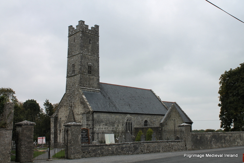 Holy well in KilrossantyHoly well · 17 yd
 RoadRoad, hollow-way · 29 yd
 Church (in ruins)Church · 65 yd
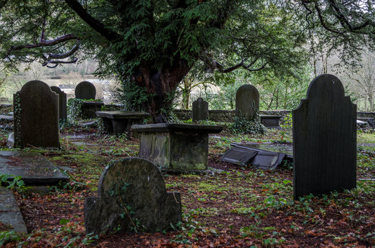 Grave YardGraveyard · 725 yd
 Bawn in BarnankileBawn · 1.1 mi
 Site of CastleCastle, unclassified · 2.0 mi
 Coumaraglin MountainMountain / peak · 2.1 mi
 Crough WoodWood · 2.3 mi
 Magic Road (finish)Heritage attraction · 2.4 mi
 Magic Road (start)Heritage attraction · 2.4 mi
 CrohaunMountain / peak · 3.0 mi
 Standing StoneMemorial · 3.4 mi