What is recorded here
Situated on a marked S-facing slope overlooking the valley of a mountain stream. A spring which is now diverted into a field drain. The site is marked by a small level platform (dims. c. 8m x 7m) with wall collapse along the edges especially on the W side. A bullaun (WI010-012----) occurs 30m to the E.
The above description is derived from the published 'Archaeological Inventory of County Wicklow' (Dublin: Stationery Office, 1997). In certain instances the entries have been revised and updated in the light of recent research.
Date of upload/revision: 17 December 2008
St. Boodins Well is associated with a local tradition of healing, particularly for ailments of the eyes and skin. The site's name suggests a possible early Christian connection, though specific historical records about St. Boodin are scarce.
The monument record does not grant public access. Check the route and ask the landowner before entering private land.
- What survives
- Recorded monument
Places near here
 Cross in KilbegCross · 1 yd
 Enclosure in KilbegEnclosure · 344 yd
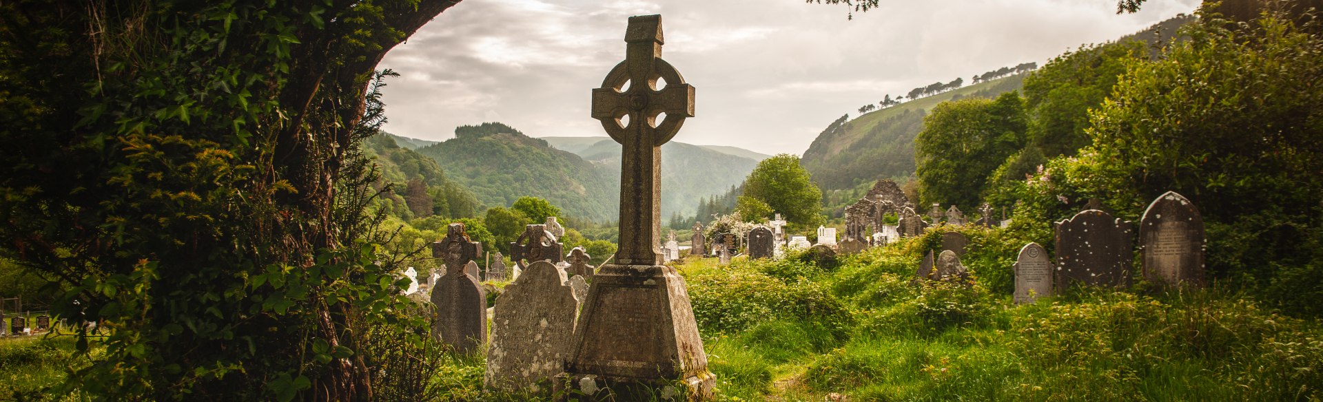 Templebodin Ch. (in Ruins)Church · 1072 yd
 Lacken – Mass Path LoopWalking route · 1446 yd
 Sorrel HillMountain / peak · 1.2 mi
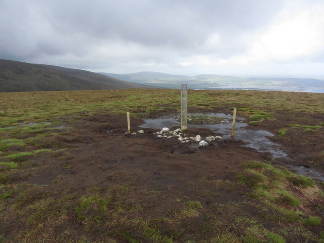 Black HillMountain / peak · 1.4 mi
 Land Grabber MemorialRuins · 2.5 mi
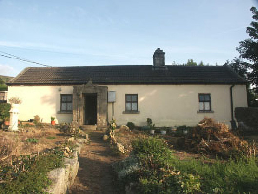 Saint Anthony'shouse · 2.5 mi
 OldcourtMemorial · 2.6 mi
 Site of CastleCastle, unclassified · 2.7 mi
 CastleCastle, tower house · 3.2 mi
 Blessington DemesneWood · 4.1 mi