
What is recorded here
According to Rowan (1953, 191-2) a 'portion of an old cross has been erected on the enclosing wall' (of the holy well, WI010-015----).
Compiled by: Matt Kelleher
Date of upload: 14 December 2012
A local church or high cross; wider significance not recorded.
The monument record does not grant public access. Check the route and ask the landowner before entering private land.
- What survives
- Recorded monument
Places near here
 Enclosure in KilbegEnclosure · 344 yd
 Font in KilbegFont · 824 yd
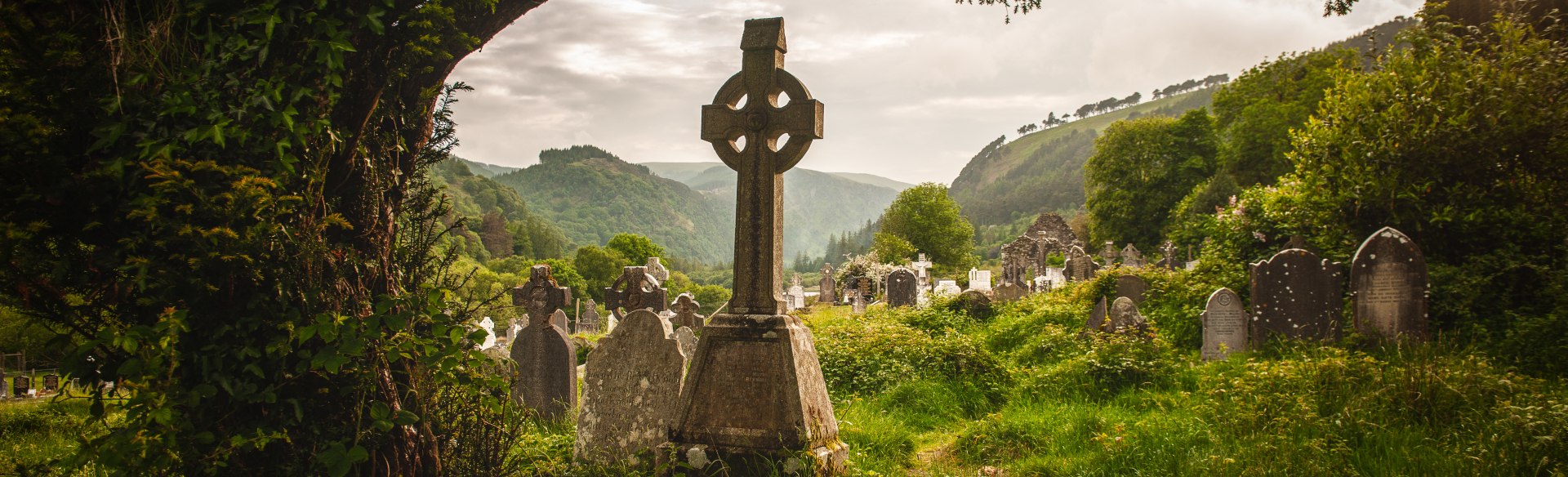 Templebodin Ch. (in Ruins)Church · 1072 yd
 Lacken – Mass Path LoopWalking route · 1446 yd
 Sorrel HillMountain / peak · 1.2 mi
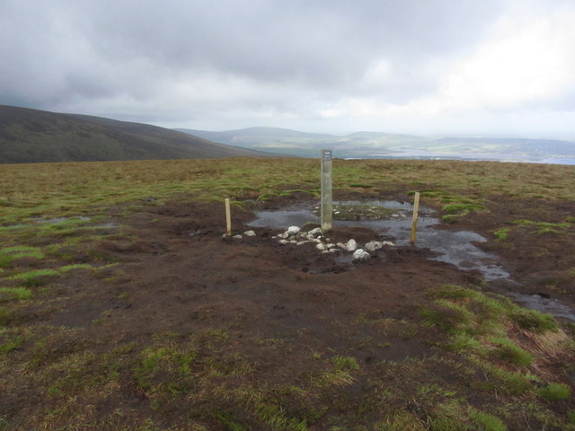 Black HillMountain / peak · 1.4 mi
 Land Grabber MemorialRuins · 2.5 mi
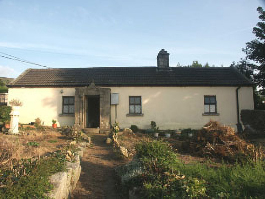 Saint Anthony'shouse · 2.5 mi
 OldcourtMemorial · 2.6 mi
 Site of CastleCastle, unclassified · 2.7 mi
 CastleCastle, tower house · 3.2 mi
 Blessington DemesneWood · 4.1 mi
Other information
Photo: Credit not shown in the picture search · Rights wording not checked; contact us if this picture should be removed