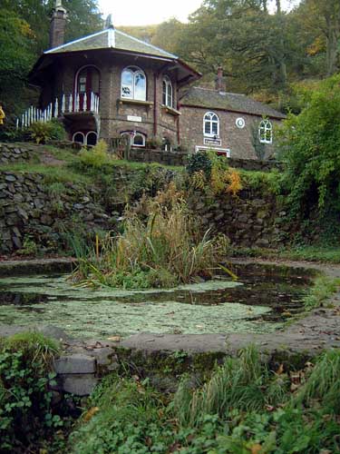
What is recorded here
Ó Danachair (1955, 209) recorded the following details about this holy well; 'St Anne's Well on 1840 map. A small oval well, about three by two feet, roughly walled with dry-stone to one foot over ground level. An old whitethorn tree grows over the well; there was a large poplar tree there formerly. No devotions now, but rounds were made up to about 1930. The water cured sore eyes; the cloth used to bathe the eyes was left as an offering. The feast of St Anne, 26th July, was a day of special devotion. The 1928 edition of the 6-inch O.S. map gives the name as "Tobar Fhionáin" but local tradition is unanimous in rejecting this name'.
The following folklore was recorded from Ardpatrick National School about St. Anne's Well; 'There are two holy wells near Ardpatrick's one on the hill. St Patricks's Well townland (Ardpatrick) & the other St Ann's in the townland of Upper Sunville. Both are marked on the ordnance map but St Ann's has been changed on the last edition of same to St Finian's. This is totally against tradition. All the old people were, & are, positive on this point' (The Schools’ Collection, Volume 0509, Page 216; accessible online at www.duchas.ie/en/cbes/4922041/4921299/4950170?ChapterID=4922041)
See attached photos taken in 1954 by Caoimhín Ó Danachair, courtesy of and © National Folklore Collection, UCD. The Photographic Collection, F025.21.00256 accessible online at www.duchas.ie/en/cbeg/24555 and F025.21.00255 accessible online at www.duchas.ie/en/cbeg/24554.
Compiled and revised by: Caimin O'Brien
Date of revised upload: 1 October 2020
St. Anne's Well is associated with the veneration of St. Anne, the mother of the Virgin Mary, and was traditionally visited for healing and protection, particularly for women's health and fertility. The well's small, dry-stone construction suggests a long-standing local devotion, with historical references dating back to at least the 19th century.
The monument record does not grant public access. Check the route and ask the landowner before entering private land.
- What survives
- Recorded monument
Places near here
 Ard na Gréinehouse · 302 yd
 presbytery/parochial/curate's housepresbytery/parochial/curate's house · 339 yd
 IndicatedEcclesiastical enclosure · 899 yd
 Field system in ArdpatrickField system · 946 yd
 Castle PhilipMountain / peak · 1.7 mi
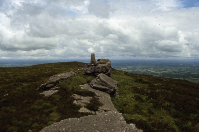 Seefin Mountain West TopMountain / peak · 1.7 mi
 Ballyhoura tourist informationVisitor information · 2.5 mi
 Treada Na Ríogh (The Moat), hachuredCastle, motte · 2.5 mi
 Castle (in ruins)Castle, tower house · 2.6 mi
 ToberpatrickSpring · 2.9 mi
 St Bridget's WellSpring · 3.3 mi
 Palatine's RockNamed rock · 3.4 mi
Other information
Photo: Credit not shown in the picture search · Rights wording not checked; contact us if this picture should be removed