
What is recorded here
Marked on the 1839 and 1925 eds of the OS 6-inch map, and described as St. Agatha’s Well on both, although John O'Donovan writing c. 1840 describes it as St. Agnes' Well (O'Flanagan 1933, vol. 2, 363). It is located on a fairly level, low-lying landscape, and at the source of a small W-E stream. The area was flooded at the time of inspection, but a large slab (dims 1.18m x 0.84m) was present with a stone-lined well (D 0.7m) just to the N of it and there was a bush growing over it. It is known locally to have a cure for warts, and offerings were present until c. 1960, but it is now disused. The church site (WX045-001001-) is c. 200m to the NE.
Compiled by: Michael Moore
Date of upload: 23 July, 2013
St. Agathas Well is associated with St. Agatha, a Christian martyr venerated in Ireland for her healing powers, particularly in relation to women's health and protection against fire. The variation in name, St. Agnes, may reflect local confusion between the similar-sounding saints or regional dialect influences.
The monument record does not grant public access. Check the route and ask the landowner before entering private land.
- What survives
- Recorded monument
Places near here
 Ecclesiastical enclosure in ShelbagganEcclesiastical enclosure · 253 yd
 Embanked enclosureFairy fort / earthen ringfort · 1380 yd
 Baylestown Housefarm house · 1446 yd
 New Bridgebridge · 1.0 mi
 Site of CastleCastle, unclassified · 1.6 mi
 Lockheed Hudson AM885 MemorialMemorial · 1.9 mi
 1798Memorial · 1.9 mi
 Common WhitebeamCommon Whitebeam · 2.7 mi
 Bawn in TaylorstownBawn · 3.3 mi
 DuncannonBeach / strand · 3.4 mi
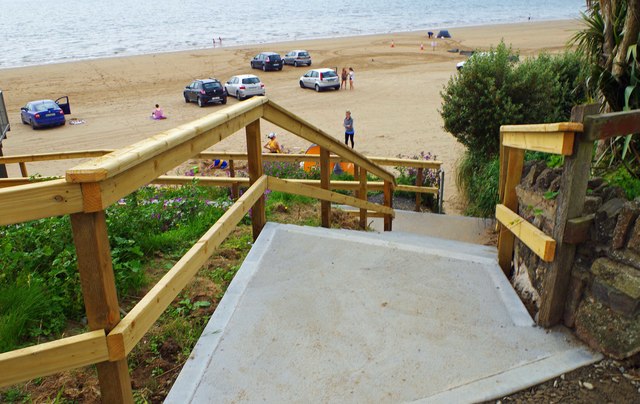 Duncannon BeachVisitor information · 3.5 mi
 Arthurstown BeachBeach / strand · 3.5 mi
Other information
Photo: Credit not shown in the picture search · Rights wording not checked; contact us if this picture should be removed