
What is recorded here
Roger le Bottiler, from whom the name Battlestown – Bottilerstown – may be derived, was a witness to a grant in 1195 (Hore 1900-11, vol. 3, 56), and in 1390 John Battaile was a retainer of Dunbrody abbey (ibid. 106). In 1522, Alexander Devereux, abbot of Dunbrody, granted 120 acres at Battlestown to Stephen Devereux, a relative (ibid. 115), and this land was still held by Stephen at the Dissolution (ibid. 125), after which it was granted to Osborne Itchingham in 1545 as part of the Dunbrody estate (ibid. 134-5). References to the castle date from 1642 when it was burned by the Royalist force besieged at Duncannon (ibid. vol. 4, 82-3). According to the Civil Survey (1654-5) 240 acres at Battalestowne and its castle were owned by John Etchingham in 1640 (Simington 1953, 187, 193). Robert Leigh writing in 1684 mentions an old tower at Battlestown (Hore 1858-9, 461). The castle is depicted faintly as a rectangular feature (dims c. 20m NE-SW; c. 15m NW-SE) on the 1839 ed. of the OS 6-inch map where it is described as the site of a castle in the Castle Meadow. It is situated on a sight E-facing slope, but there are no visible remains of a structure at ground level. The church of Templeboy (WX044-014001-) c. 700m to the W may have served its community. (Jeffrey 1970, 47)
The above description is derived from the published 'Archaeological Inventory of County Wexford' (Dublin: Stationery Office, 1996). In certain instances the entries have been revised and updated in the light of recent research.
Compiled by: Michael Moore
Date of upload/revision: 22 July 2013
Roger le Bottiler, possibly giving his name to Battlestown, was active in the late 12th century, and the site may have been associated with the Battaile family by the late 14th century. The castle's importance lies in its potential link to medieval landholding and ecclesiastical connections, particularly with Dunbrody Abbey.
This remains an important historical record, but the official description says the monument is no longer visible or has been destroyed. The monument record does not grant public access. Check the route and ask the landowner before entering private land.
- What survives
- No visible remains or recorded as destroyed
Places near here
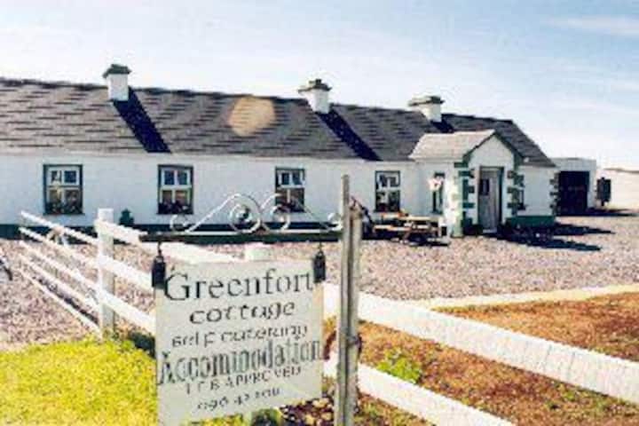 (Site of) TempleboyChurch · 741 yd
 RathmoyleFairy fort / earthen ringfort · 1011 yd
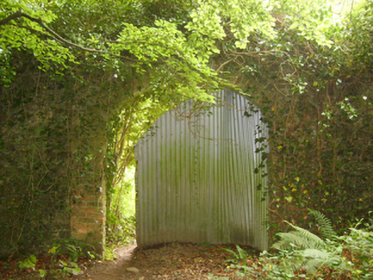 Tintern Abbeywalled garden · 1.2 mi
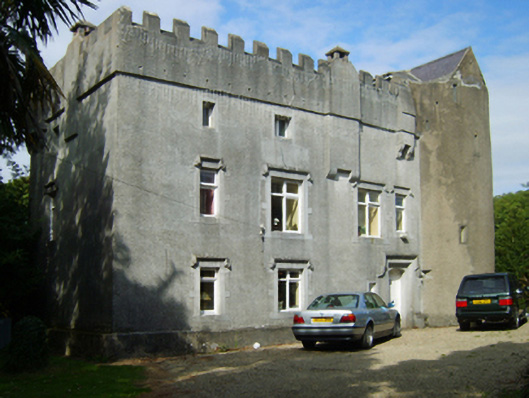 Dungulph Castlecastle/fortified house · 1.2 mi
 1798Memorial · 1.5 mi
 Saltmills Explosion MemorialMemorial · 2.2 mi
 Carricjmore CliffCliff · 2.4 mi
 DuncannonBeach / strand · 2.5 mi
 Grange BeachBeach / strand · 2.6 mi
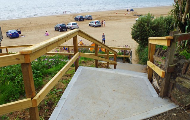 Duncannon BeachVisitor information · 2.7 mi
 AshgroveVisitor information · 2.8 mi
 Common WhitebeamCommon Whitebeam · 2.8 mi
Other information
Photo: Credit not shown in the picture search · Rights wording not checked; contact us if this picture should be removed