What is recorded here
No wall, roof or stone marker remains at the Site of R.C. Chapel in County Galway. The first edition of the Ordnance Survey six-inch map named it only as a site, implying the chapel had already vanished from sight. It stood within a known enclosure, yet the earth keeps no visible trace of its shape. Forgetting completed what decay began.
Within an enclosure (GA007-063002-). Named on 1st ed. of OS 6-inch map as 'Site of' suggesting that little or nothing of its fabric then remained. No visible surface trace survives.
The above description is derived from the published 'Archaeological Inventory of County Galway Vol. II - North Galway'. Compiled by Olive Alcock, Kathy de hÓra and Paul Gosling (Dublin: Stationery Office, 1999).
Date of upload: 05 August 2010
The monument record does not grant public access. Check the route and ask the landowner before entering private land.
- What survives
- Recorded monument
Places near here
 Enclosure in Glinsk (ballymoe By.)Enclosure · 1 yd
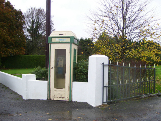 telephone boxtelephone box · 257 yd
_-_geograph.org.uk_-_1952978.jpg?width=1280) Bawn in Glinsk (ballymoe By.)Bawn · 572 yd
Bawn in Glinsk (ballymoe By.)Bawn · 572 yd Glinsk Castle in ruinsHouse, 17th century · 594 yd
 Enclosure in Ballynakill (ballymoe By.),glinsk (ballymoe By.)Enclosure · 852 yd
 Site of Killomaine Grave YardArchaeological place · 1667 yd
 HawthornHawthorn · 3.9 mi
 Site of Ballyglass CastleCastle, unclassified · 4.0 mi
 Rook HillMountain / peak · 4.6 mi
 Mount MaryMountain / peak · 5.6 mi
 European ashEuropean ash · 5.9 mi
 Sally IslandIslet · 6.8 mi