
What is recorded here
In pastureland. Marked on 3rd ed. of OS 6-inch map (1930) as a circular enclosure (D c. 43m) cut by a number of field boundaries from SW to NNW, and from ENE to SE. No visible surface trace survives.
The above description is derived from the published 'Archaeological Inventory of County Galway Vol. II - North Galway'. Compiled by Olive Alcock, Kathy de hÓra and Paul Gosling (Dublin: Stationery Office, 1999).
Date of upload: 05 August 2010
The monument record does not grant public access. Check the route and ask the landowner before entering private land.
- What survives
- Recorded monument
Places near here
 Cross in Ballynakill (ballymoe By.)Cross · 337 yd
 Ballinakill AbbeyRuins · 388 yd
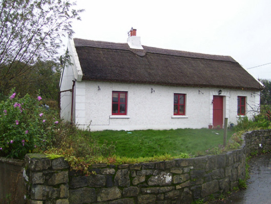 Quigothy Cottagehouse · 528 yd
_-_geograph.org.uk_-_1952978.jpg?width=1280) Bawn in Glinsk (ballymoe By.)Bawn · 617 yd
Bawn in Glinsk (ballymoe By.)Bawn · 617 yd Cross (present location) in KeelogesbegCross (present location) · 711 yd
 Site of Killomaine Grave YardArchaeological place · 922 yd
 Site of Ballyglass CastleCastle, unclassified · 3.5 mi
 Rook HillMountain / peak · 4.1 mi
 HawthornHawthorn · 4.3 mi
 Mount MaryMountain / peak · 5.8 mi
 European ashEuropean ash · 6.4 mi
 Sally IslandIslet · 7.1 mi
Other information
Photo: Credit not shown in the picture search · Rights wording not checked; contact us if this picture should be removed