What is recorded here
Site of Oughterleague Church is a church in Clonaspoe, County Tipperary, Ireland. It stands in poorly drained grassland atop a low natural hillock with good views in all directions and the Multeen river 150 metres to the east. A roughly circular enclosure or graveyard occupies the site, but no visible trace of the church remains at ground level. A slight rise in the north quadrant may indicate a levelled church, while deciduous trees planted around the curtilage leave the monument boundary clear.
In poorly drained grassland atop low natural hillock with good views in all directions, with Multeen river 150m to the E. The lands all around the church have been recently planted with deciduous trees and the curtilage of the monument has been respected by the forest plantation. There is no visible trace of the church at ground level in the roughly circular enclosure or graveyard (TS052-035001-). Slight rise of ground in N quadrant of graveyard may indicate levelled church.
Compiled by: Jean Farrelly
Date of upload: 26 August 2011
This remains an important historical record, but the official description says the monument is no longer visible or has been destroyed. The monument record does not grant public access. Check the route and ask the landowner before entering private land.
- What survives
- No visible remains or recorded as destroyed
Places near here
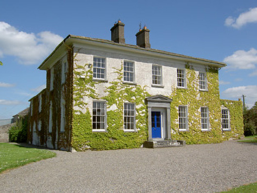 Drummona Houserectory/glebe/vicarage/curate's house · 677 yd
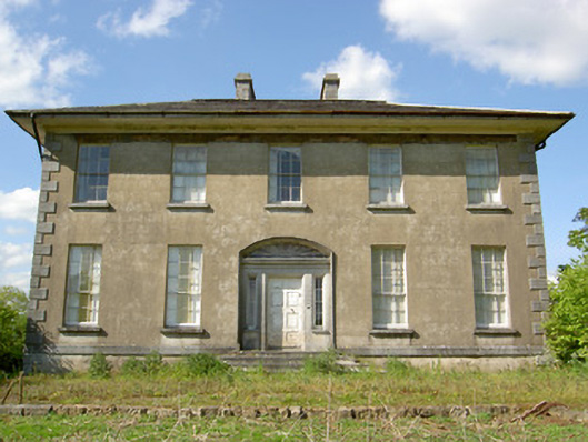 Grene Parkcountry house · 841 yd
 Wych ElmWych Elm · 884 yd
 IndicatedEnclosure · 976 yd
 Woodcock GroveWood · 1269 yd
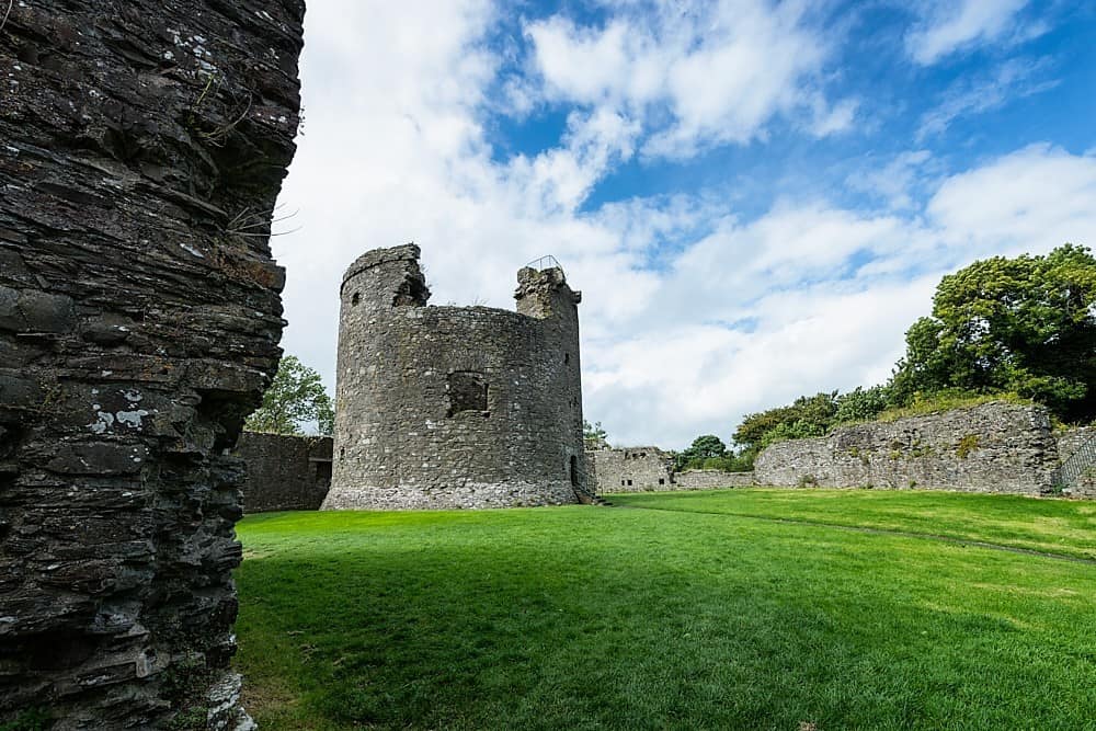 Site of CastleCastle, unclassified · 1597 yd
 Parknamoe FortFairy fort / earthen ringfort · 1749 yd
 Ballagh CastleCastle · 1.5 mi
 Clonoulty HillMountain / peak · 3.7 mi
 Hore AbbeyHeritage attraction · 5.9 mi
 The Maid of ErinMemorial · 8.9 mi
 GortnageraghMountain / peak · 9.1 mi