
What is recorded here
Shown only on first edition map as rectangular area defined by dotted line and named 'Site of Old Building'. Lewis (1837, vol. 1, 429) refers to 'extensive ruins, supposed to have belonged to a religious establishment' in this field. It is not included in Gwynn and Hadcock's list of religious houses in Ireland (1988). No visible surface trace.
The above description is derived from the published 'Archaeological Inventory of County Cork. Volume 2: East and South Cork' (Dublin: Stationery Office, 1994). In certain instances the entries have been revised and updated in the light of recent research.
Date of upload/revision: 14 January 2009
The monument record does not grant public access. Check the route and ask the landowner before entering private land.
- What survives
- Recorded monument
Places near here
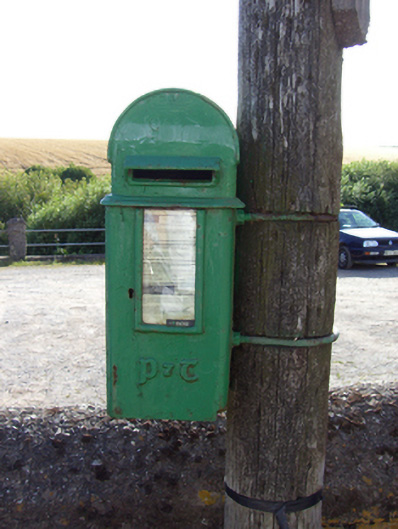 post boxpost box · 724 yd
 Prehistoric sitePrehistoric site, lithic scatter · 942 yd
 IndicatedHouse, vernacular house · 1257 yd
 RobertMemorial · 1532 yd
 Fossil Worm TrackNamed rock · 1.0 mi
 InchBeach / strand · 1.1 mi
 Enclosure in ArdnabourkeyEnclosure · 1.2 mi
 Trabolgan Holiday VillageHeritage attraction · 1.3 mi
 Long OrchardWood · 1.9 mi
 Doonpower (in Ruins)Castle, unclassified · 1.9 mi
 Whitegate War MemorialMemorial · 2.2 mi
 Castle (in Ruins)Castle, unclassified · 2.8 mi
Other information
Photo: Credit not shown in the picture search · Rights wording not checked; contact us if this picture should be removed