
What is recorded here
On E side of Gyleen village, on cliff overlooking sea to S. Identified during field study (1983-5). 'Flint artefacts were scattered throughout much of the field with two main concentrations... one of these produced...uni-plane cores... larger flakes and blades resembleing later Mesolithic material... the second concentration produced uniformly smaller flakes, blades and cores... not diagnostic of any particular lithic industry' (Johnson 1987, 14); excavation in 1986 produced 'no features or any evidence for an undisturbed 'occupation' level' (ibid.).
The above description is derived from the published 'Archaeological Inventory of County Cork. Volume 2: East and South Cork' (Dublin: Stationery Office, 1994). In certain instances the entries have been revised and updated in the light of recent research.
Date of upload/revision: 14 January 2009
The monument record does not grant public access. Check the route and ask the landowner before entering private land.
- What survives
- Recorded monument
Places near here
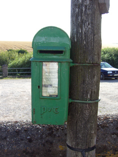 post boxpost box · 218 yd
 IndicatedHouse, vernacular house · 397 yd
 Fossil Worm TrackNamed rock · 874 yd
 Site of Old BuildingReligious house, unclassified · 942 yd
 RobertMemorial · 982 yd
 InchBeach / strand · 1075 yd
 Grave YdGraveyard · 1580 yd
 Doonpower (in Ruins)Castle, unclassified · 1.4 mi
 Trabolgan Holiday VillageHeritage attraction · 1.8 mi
 Long OrchardWood · 2.4 mi
 Church Bay BeachBeach / strand · 3.7 mi
 Castle (Site of)Castle, unclassified · 4.3 mi
Other information
Photo: Credit not shown in the picture search · Rights wording not checked; contact us if this picture should be removed