What is recorded here
Marked on the 1839 and 1940 eds of the OS 6-inch map where it is described as the site of Kilgorman Well, and located towards the bottom of the S-facing slope of a small hill and c. 10m outside the boundary of the graveyard (WX007-015002-). The sea-shore is c. 230m to the SE, but there is no visible evidence of a well. Little is known of St. Gormán except that his feast was celebrated on 25 October (Ó Riain 2011, 369), but even this had long been forgotten at Kilgorman according to John O'Donovan writing c. 1840 (O'Flanagan 1933, vol. 1, 3).
Compiled by: Michael Moore
Date of upload: 10 August, 2012
Linked to Saint Gorman, a 6th-century Irish saint associated with several sites in the west of Ireland, the well was traditionally visited for its supposed healing properties, particularly for skin ailments and eye complaints. Pilgrims would often recite prayers or perform rituals such as circling the well or drinking from it on specific feast days.
The monument record does not grant public access. Check the route and ask the landowner before entering private land.
- What survives
- Recorded monument
Places near here
 Kilgorman WellArchaeological place · 7 yd
 Kilgorman Church (in ruins)Church · 52 yd
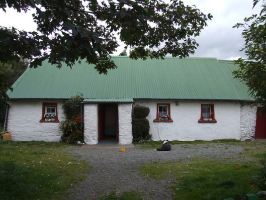 farm housefarm house · 1183 yd
 ToberpatrickHoly well · 1.3 mi
 Tara HillMountain / peak · 1.8 mi
 CastleCastle, unclassified · 1.9 mi
 Duffcarrig Rocks BeachBeach / strand · 3.6 mi
 Kia Ora Mini FarmHeritage attraction · 3.9 mi
 Curragh WoodWood · 4.1 mi
 Clogga StrandBeach / strand · 4.1 mi
 Arklow RockMountain / peak · 4.3 mi
 Holm OakHolm Oak · 4.5 mi