What is recorded here
Aspels Clump still stands inside the Tayto Park carpark, guarding the vanished eastern edge of a sixty-metre fort that disappeared from the level Meath landscape before modern memory. The fort may have been a boundary marker, a seasonal camp or a forgotten defence, yet even its absence shaped the land by forcing people to plant and pave around what it occupied.
Situated on a level landscape. A circular feature (diam. c. 60m) is depicted faintly and described as the ‘Site of Fort’ on the 1836 edition of the OS 6-inch map. Its E quadrant is occupied by a rectangular copse described as Aspels Clump on that map but only the clump is depicted and named on the 1908 edition. No archaeological feature is visible at ground level. Aspels Clump is still extant in the carpark of Tayto Park.
The above description is derived from the published 'Archaeological Inventory of County Meath' (Dublin: Stationery Office, 1987). In certain instances the entries have been revised and updated in the light of recent research.
Compiled by: Michael Moore
Date of upload: 10 July 2007
Amended: 14 April 2022
The monument record does not grant public access. Check the route and ask the landowner before entering private land.
- What survives
- Recorded monument
Places near here
 Emerald ParkHeritage attraction · 269 yd
 Church in Kilbrew (ratoath By.)Church · 429 yd
 Lemur WoodWood · 480 yd
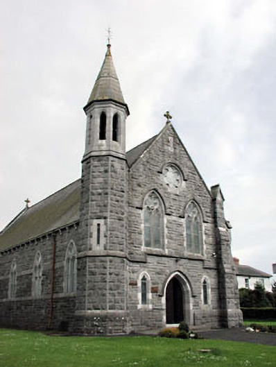 Saint Andrew's Catholic Churchchurch/chapel · 1328 yd
 Font (present location) in CrickstownFont (present location) · 1336 yd
 IndicatedCeremonial enclosure · 1621 yd
 CastleCastle, unclassified · 1630 yd
 Newtown HillMountain / peak · 1.6 mi
 Newtown GorseWood · 2.3 mi
 Macetown CastleCastle, tower house · 2.7 mi
 PuddenhillHeritage attraction · 3.2 mi
 AshbourneMemorial · 4.4 mi