
What is recorded here
Located on a S-facing slope of Windmill Hill, 110m SW of the Irishtown henge (ME038-011----) and 800m N of a canalised ESE-WNW section of the River Hurley, a tributary of the River Nanny. This is a circular enclosure (diam. c. 140m) defined by an earthen bank that varies in scale from at W (Wth of base 7.2m; int. H 1.7m; ext. H 2.2m) to at SSW (Wth of base 10.5m; max. int. H 1.5m; max. ext. H 2.25m), but there is no visible fosse either within or without. It is truncated by a NW-SE lane at E which has removed a considerable length of the perimeter (L c. 60m) and the bank is lowest (at S: Wth of base 10m; int. H 0.5m; ext. H 2m) S of this break. There are gaps at S (Wth 32m), SW (Wth 12.2m) and NW (Wth 17m) and there is a modern entrance (Wth 4m) at N, but the original entrance is probably that at SW where the ground level falls sharply immediately outside. The house (ME038-010001-) is in the north interior, and the Man-made underground passage (ME038-032----) was discovered c. 70m outside the perimeter to the NE. Archaeological testing (12E0049) by R. Meenan c. 20m to the E at the closest point produced no related material (excavation.ie 2012:462) and further testing (13E0443) by the same archaeologist c. 70m to the SW provided a similar result (excavations.ie 2013:426). Archaeological testing (17E0390) by R. Meenan c. 350m to the SSW and on a laneway extending NE from it produced no archaeological material (excavations.ie 2017:780). (Stout 1991, 263)
Date of revision: 10 January 2017
Amended: 19 March 2021, 14 April, 2021, 13 April 2022
The monument record does not grant public access. Check the route and ask the landowner before entering private land.
- What survives
- Recorded monument
Places near here
 Enclosure in Irishtown (skreen By., Kilmoon Par.)Enclosure · 325 yd
 St. Munnas ChurchChurch · 1411 yd
 Emerald ParkHeritage attraction · 1572 yd
 Lemur WoodWood · 1605 yd
 Church in Kilbrew (ratoath By.)Church · 1670 yd
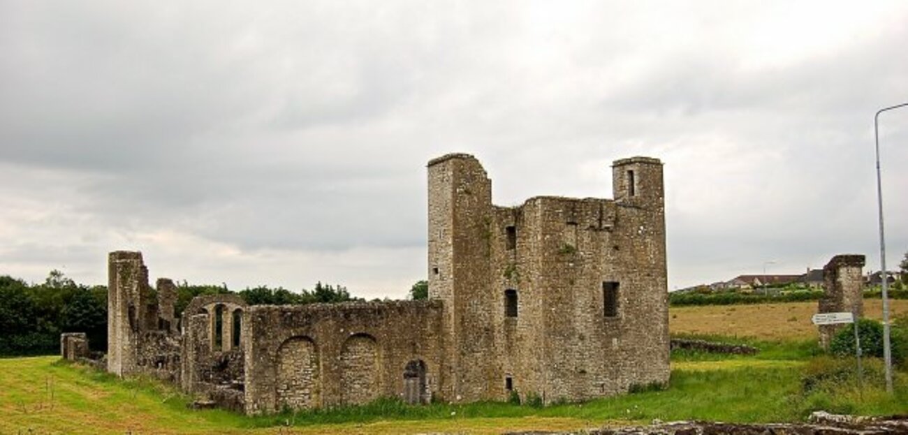 Enclosure in Painestown (skreen By.)Enclosure · 1698 yd
 Newtown HillMountain / peak · 1.7 mi
 Macetown CastleCastle, tower house · 1.8 mi
 CastleCastle, unclassified · 1.8 mi
 Newtown GorseWood · 2.2 mi
 PuddenhillHeritage attraction · 2.5 mi
 Candle HillMountain / peak · 4.0 mi
Other information
Photo: Credit not shown in the picture search · Rights wording not checked; contact us if this picture should be removed