
What is recorded here
Located on a slight rise in a fairly level landscape, with a SE-NW canalised section of the Hurley River c. 380m to the NE. It is at the E edge of the Tayto Park entertainment complex. A church at Kilbrew is listed in the ecclesiastical taxation (1302-06) of Pope Nicholas IV (Cal. doc. Ire., 5, 254). The names of some of the clergy are known (Cogan 1862-70, 1, 141). Ussher (1622) describes the church and chancel as indifferently repaired (Erlington 1847-64, 1, lxviii). According to Dopping's Visitation Book (1682 5) the walls of St Bridget’s church and chancel were standing but it was unroofed and the graveyard was not enclosed (Ellison 1971, 38 9). A Church of Ireland church was built c. 1750 and enlarged c. 1830 (Lewis 1837, 2, 54), but this has disappeared without trace. The site of the medieval parish church was probably on the same footprint within a well-tended subrectangular graveyard (dims c. 70m E-W; c. 35-50m N-S) defined by masonry walls with headstones dating c. 1780-2007. There is a small mortuary enclosure (int. dims 6.55m E-W; 4.55m N-S) defined by masonry walls (Wth 0.5m; max. int. H 1.5m) with an entrance gate at S that is marked on the 1836 ed. of the OS 6-inch map, but no evidence of the church, apart from two pieces of architrave (H 0.93m; 0.43m) with convex and concave coving or chamfers.
The above description is derived from the published 'Archaeological Inventory of County Meath' (Dublin: Stationery Office, 1987). In certain instances the entries have been revised and updated in the light of recent research.
Compiled by: Michael Moore
Date of revised upload: 19 March 2015
The monument record does not grant public access. Check the route and ask the landowner before entering private land.
- What survives
- Recorded monument
Places near here
 Lemur WoodWood · 91 yd
 Emerald ParkHeritage attraction · 180 yd
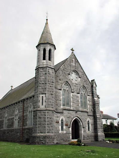 Saint Andrew's Catholic Churchchurch/chapel · 1575 yd
 Font (present location) in CrickstownFont (present location) · 1585 yd
 IndicatedCeremonial enclosure · 1670 yd
 CastleCastle, unclassified · 1.0 mi
 Church (in Ruins)Church · 1.3 mi
 Newtown HillMountain / peak · 1.9 mi
 Newtown GorseWood · 2.5 mi
 Macetown CastleCastle, tower house · 2.6 mi
 PuddenhillHeritage attraction · 3.4 mi
 Candle HillMountain / peak · 4.5 mi
Other information
Photo: Credit not shown in the picture search · Rights wording not checked; contact us if this picture should be removed