What is recorded here
Cloheenafishoge Castle stood on a low ridge in County Tipperary, large enough to cast a shadow across the pasture before time and weather erased most of it. A seven-metre wall still marks the eastern edge of a building that once stretched westward, while a faint square bawn hides beneath the grass. The castle may have been a home, a watchpost or a small seat of local power, but its rooms are gone and its purpose has blurred into the land. What remains is a ridge, a line of stone and the sense that a whole life once turned inside walls no longer visible.
On the N edge of a low natural ridge on the crest of a hill in rolling pasture. The castle is depicted on the 1st ed. OS 6-inch map (1840) as the 'Site of Cloheenafishoge Castle'. Only a short length of walling (7.3m L x 0.8m T), of limestone and sandstone rubble, has survived. Both the internal and external faces have collapsed or been robbed. The wall is aligned N-S. There is no visible evidence of any other remains. On the OS ortho image a roughly square bawn (TS081-024001-) (dims. c. 47m N-S; c. 51m E-W) is visible as a cropmark, with the castle occupying the SE angle. The position of the wall suggests it is the eastern wall of a building which extended westward.
Compiled by: Jean Farrelly
Date of revised upload: 3 November 2015
The monument record does not grant public access. Check the route and ask the landowner before entering private land.
- What survives
- Recorded monument
Places near here
 Bawn in CloheenafishogeBawn · 25 yd
 Knockane Castle ruinsCastle · 1128 yd
 Enclosure in Parkaderreen (shanrahan Par.)Enclosure · 1735 yd
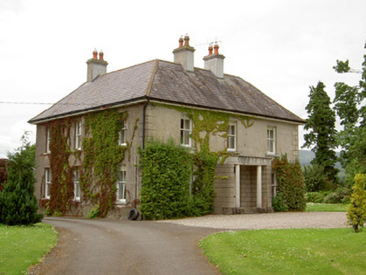 Kilcoran Househouse · 1.1 mi
 Enclosure in KilroeEnclosure · 1.5 mi
 Catholic Church of Our Lady and Saint Kieranchurch/chapel · 1.6 mi
 Rehill WoodForest · 1.6 mi
 Boulakennedy WoodForest · 1.7 mi
 SlieveanardMountain / peak · 3.7 mi
 LaghtshanaquillaMountain / peak · 3.8 mi
 Mitchelstown CaveCave · 4.1 mi
 Cahir CastleHeritage attraction · 5.0 mi