
What is recorded here
On a S facing slope of a flat ridge in reclaimed pastureland, in gently undulating terrain. Enclosure not marked on 1st or 2nd ed. OS 6-inch map, it is identified as a circular cropmark on an aerial photograph (Air Corps V 312/3040-39). There is no visible trace of the N side of the site above ground and the S side is formed by a curving kink (dims. 29m E-W) in the field bank (Wth 0.8m crest; Wth 1.2m base; int. H 0.53m; ext. H 1.3m).
Compiled by: Jean Farrelly
Date of upload: 26 August 2011
This remains an important historical record, but the official description says the monument is no longer visible or has been destroyed. The monument record does not grant public access. Check the route and ask the landowner before entering private land.
- What survives
- No visible remains or recorded as destroyed
Places near here
 Knockane Castle ruinsCastle · 1181 yd
 IndicatedBawn · 1211 yd
 Enclosure in KilroeEnclosure · 1446 yd
 Ballysheehan Househouse · 1487 yd
 RaheenArchaeological place · 1569 yd
 Rehill WoodForest · 1.2 mi
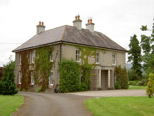 Kilcoran Househouse · 1.5 mi
 Sweet ChestnutSweet Chestnut · 1.9 mi
 Mitchelstown CaveCave · 3.7 mi
 Ronald Reagan CentreHeritage attraction · 4.6 mi
 LaghtshanaquillaMountain / peak · 4.6 mi
 SlieveanardMountain / peak · 4.6 mi
Other information
Photo: Credit not shown in the picture search · Rights wording not checked; contact us if this picture should be removed