
What is recorded here
On a sheltered slope in County Carlow, a ruined church lies buried under grass and memory. Its walls have collapsed into low banks, yet the rectangular shape still marks the ground where people gathered, prayed and were buried. A carved stone head recovered from the graveyard now sits in Carlow County Museum, carrying fragments of the place into another room. The church has disappeared, but it has not stopped speaking.
On a NE-facing slope in undulating terrain. The church is located S of centre in the graveyard (CW007-025002-). A rectangular church (overall dims. 16.5m E-W; 8.6m N-S; int. dims. c. 13m E-W; c. 6.5m N-S) orientated E-W. The walls have largely collapsed and the outline is evident as a low, grass-covered bank (W wall int. H c. 0.9m; ext. H 0.45m; E wall int. H 0.6m; ext. H 0.72m). There is a gap in the N wall 4.7m from the W gable which is likely to have been a doorway. There may also have been a doorway opposite in the S wall but this area is very overgrown and obscured by debris from the graveyard clean-up. A carved stone head (CW007-167----) found in the graveyard is now in Carlow County Museum.
Compiled by: Jean Farrelly
Date of upload: 23 June 2015
The monument record does not grant public access. Check the route and ask the landowner before entering private land.
- What survives
- Recorded monument
Places near here
 Grave YardGraveyard · 9 yd
 Enclosure in StaplestownEnclosure · 386 yd
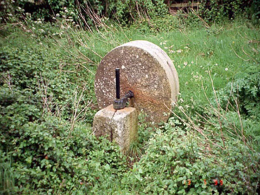 culm crusherculm crusher · 567 yd
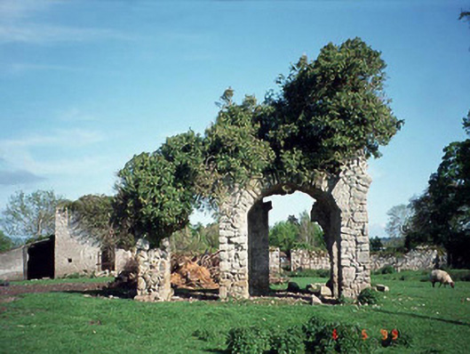 Staplestown Turretscountry house · 950 yd
 Graigue Castle in ruinsCastle, unclassified · 1.5 mi
 Brownshill Portal TombVisitor information · 1.6 mi
 Carlow County MuseumMuseum · 1.7 mi
 White willowWhite willow · 1.9 mi
 CastleCastle, Anglo-Norman masonry castle · 1.9 mi
 Pedunculate OakPedunculate Oak · 2.1 mi
 Kilmurry Church (in ruins), GraveyardChurch · 4.3 mi
 Church (in ruins), GraveyardChurch · 4.7 mi
Other information
Photo: Credit not shown in the picture search · Rights wording not checked; contact us if this picture should be removed