What is recorded here
Threecastles is a vanished castle on a Wicklow ridge, reduced to a rectangular shadow on an 1838 map while the live land keeps its own secret. It stood where sight reaches far into the Liffey valley, perhaps a watchroom, a trap or a boundary marker for people who no longer have names. The ground has taken back its shape, but the ridge still holds the idea of being seen.
Situated on level ground on the SW edge of a ridge overlooking the steeper slopes of the Liffey valley. Marked on the 1838 OS 6-inch map as a small rectangular area and called 'Site of Castle'. Not visible at ground level.
The above description is derived from the published 'Archaeological Inventory of County Wicklow' (Dublin: Stationery Office, 1997). In certain instances the entries have been revised and updated in the light of recent research.
Date of upload/revision: 17 December 2008
The monument record does not grant public access. Check the route and ask the landowner before entering private land.
- What survives
- Recorded monument
Places near here
 CastleCastle, tower house · 333 yd
 Site of CastleCastle, unclassified · 946 yd
 OldcourtMemorial · 1173 yd
 Enclosure in CrosscoolharbourEnclosure · 1303 yd
 Scurlocks Grave Yd. (Disused)Ecclesiastical enclosure · 1629 yd
 Church in Kilbride (talbotstown Lower By.)Church · 1.4 mi
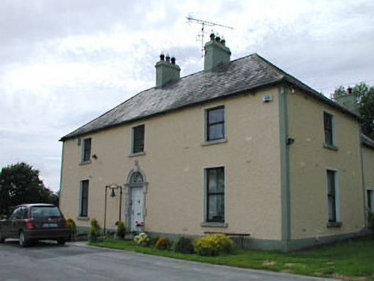 Catholic Church of Our Lady of Mercypresbytery/parochial/curate's house · 1.5 mi
 Rock WoodForest · 1.9 mi
 Dame Ninette de ValoisMemorial · 2.2 mi
 Blessington DemesneWood · 2.5 mi
 Lacken – Mass Path LoopWalking route · 2.6 mi
 Sorrel HillMountain / peak · 2.9 mi