What is recorded here
Situated on S facing slope of a rise (350ft OD), in undulating pasture, c. 400m S of Shinglis House. A ringfort (WM017-085----) lies c. 33m to NNE, an enclosure (WM017-084----) c. 95m to SW and Shinglis Castle (WM017-083----) c. 325m to NW. Annotated ‘Site of Irish Camp’ on the 1837 OS Fair Plan map. In 1648 a military camp was established here by Ormond's Royalist army in an attempt to capture the Catholic army under the command of General Owen Roe O'Neill (Woods 1907, 17).
Site of 17th century military camp described in 1978 as consisting of the traces of two earthen banks forming a small L-shaped enclosure with one bank extending to the N and the other to the W. No visible remains of this L-shaped enclosure are visible today on Digital Globe aerial photography.
Compiled by: Alison McQueen, Vera Rahilly and Caimin O’Brien
Date of upload: 19 December 2018
The monument record does not grant public access. Check the route and ask the landowner before entering private land.
- What survives
- Recorded monument
Places near here
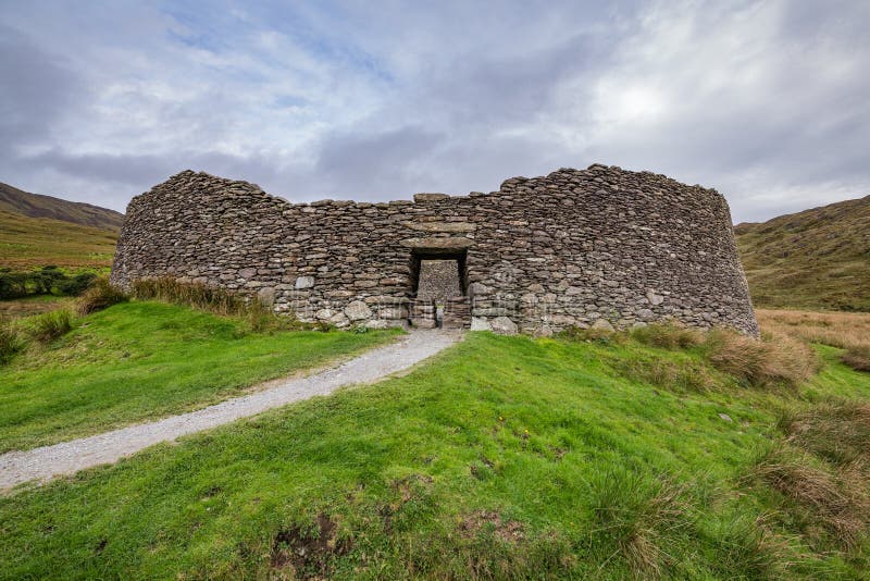 Fairy fort / ringfort in ShinglisFairy fort / ringfort · 56 yd
 Shinglis CourtCastle, unclassified · 374 yd
 OutlinedFairy fort / ringfort · 703 yd
 Corran IslandIslet · 1031 yd
 The Mansemanse · 1260 yd
 Sunday Wellmass rock · 1.1 mi
 CastleCastle, unclassified · 1.1 mi
 Sessile OakSessile Oak · 3.0 mi
 Craft WorkshopHeritage attraction · 3.6 mi
 Guest ServicesVisitor information · 3.6 mi
 Goldsmith Birthplace, PallasVisitor information · 4.3 mi
 Target WoodWood · 4.3 mi