
What is recorded here
Ballymanus Castle stood in a low-lying area beside the river in County Laois, dependent on Dunamase and marked on the 1563 map of Leix and Offaly. The Grand Canal now cuts through its site, erasing the last visible trace of the building. Whatever rooms or defences once occupied that wet ground have vanished beneath water and time, leaving only the canal's line to mark where the castle disappeared.
Shown on the 1563 map of Leix and Offaly (Hore 1863, f.p. 345). In a low-lying area beside river. It was dependent on Dunamase (O'Hanlon and O'Leary 1907, vol. 1, 223). No visible surface remains. The line of the Grand Canal is depicted running through the site of the castle on the various editions of the OS 6-inch maps.
The above description is derived from the published 'Archaeological Inventory of County Laois' (Dublin Stationery Office, 1995) compiled by P. David Sweetman, Olive Alcock and Bernie Moran. In certain instances the entries have been revised and updated in the light of recent research.
Date of upload: 17 December 2007
The monument record does not grant public access. Check the route and ask the landowner before entering private land.
- What survives
- Recorded monument
Places near here
 Camac Aqueductaqueduct · 137 yd
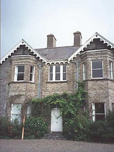 Grattan Lodgehouse · 1267 yd
 Dotted outline, GlebeEcclesiastical enclosure · 1569 yd
 Site of ChurchChurch · 1576 yd
 Blackford Castle (in Ruins)Castle, tower house · 1.7 mi
 Black WalnutBlack Walnut · 2.0 mi
 Reban CastleCastle, Anglo-Norman masonry castle · 2.1 mi
 Pedunculate OakPedunculate Oak · 2.5 mi
 Beech Way WalkWalking route · 2.9 mi
 Mass RockNamed rock · 3.0 mi
 CEMETERYGraveyard · 3.0 mi
 Cobbler's Castle WalkWalking route · 3.0 mi
Other information
Photo: Credit not shown in the picture search · Rights wording not checked; contact us if this picture should be removed