
What is recorded here
Four storeys of rough limestone still stand in the undulating countryside, preserving an eastern wall and narrow slit where Robert Hartpole once held the manor. Built to resist O'More incursions, the bare stone excluded comfort and invited danger, forcing occupants to watch the horizon through a single opening. The ruin retains the severity of that borderland, where survival depended on alertness rather than hospitality.
In undulating countryside. Marked on the 1563 map of Leix and Offaly (Hore 1863, f.p. 345). Erected as a defence against the Pale incursions by the O'Moores (O'Hanlon and O'Leary 1907, vol. 1, 223). In 1576 Robert Hartpole of Carlow was granted the ‘manor of the Blackeforde (LA014-045----), a castle in Monyferricke (LA014-100----), Rathmadocke alias the Blackeforde, the lands of Moniferick, Rathmadock alias the Blackeforde, Kilteighan, Garrans, Kilgessin, Ballekilkavan, Dromlin alias Killiclery, Inche alias Ballicowley, and Bavon an old castle in Colvanacre (LA008-015----) alias Colbanahore [Coolbanagher], the lands of Colvanacre alias Colbanahore, Ballarighan, Killgenne, Ballenebeg, Shanebeg, Ballemolrone, and Ballenestraghe, the lands of Shrowle [Shrule] (LA032-012001-), Ballyhormer, Ballecollin, Rathduf, Garribriken, Aghatenan, and Cappescribedor, in the lordship of Slemarge, a ruinous castle and lands in Clonrere [Clonreher] (LA013-019----) alias Merickeston, lands in Cultwerin, Killclonhoberd, Ballekillkaraghe, Knockandiere, Rathnemanaghe, and lands of Killehide, Ballehide, Garrenoe, Ballinecard, Farrinduf, Rossemore, and Ballim’Kegane, in the lordship of Slemarge, the lands of Ballirahen, Rossenalgan, Garroughe, Dormoile, and Capoile, or Cappahoile, in the same lordship; the advowson of the rectory of S. Fenton [Fintan], of Clowenenaghe [Clonenagh] (LA017-003001-), diocese of Leighlen, all in Queen’s co.. To hold for ever, by the service of a fouth part of a knight’s fee; rent £26 1s. 2d., Maintaining six English horsemen’ (Nicholls 1994, 376).
Built of roughly coursed limestone, remains consist of E wall (L c. 7.4m) and portion of S wall (L c. 2.6m, wall T c. 1.8m), four storeys high. Featureless, except for slit ope in E wall.
The above description is derived from the published 'Archaeological Inventory of County Laois' (Dublin Stationery Office, 1995) compiled by P. David Sweetman, Olive Alcock and Bernie Moran. In certain instances the entries have been revised and updated in the light of recent research.
Compiled by: David Sweetman
Revised by: Caimin O'Brien
Date of revised upload: 16 November 2015
Blackford Castle was built in the 16th century by the O'Moores as a defensive structure against incursions from the Pale. It is remembered for its historical role in the resistance of Gaelic Irish chieftains during the Tudor conquest of Ireland.
The monument record does not grant public access. Check the route and ask the landowner before entering private land.
- What survives
- Recorded monument
Places near here
 milestone/milepostmilestone/milepost · 172 yd
 Hachured, Dandys HillFairy fort / earthen ringfort · 1088 yd
 Pedunculate OakPedunculate Oak · 1096 yd
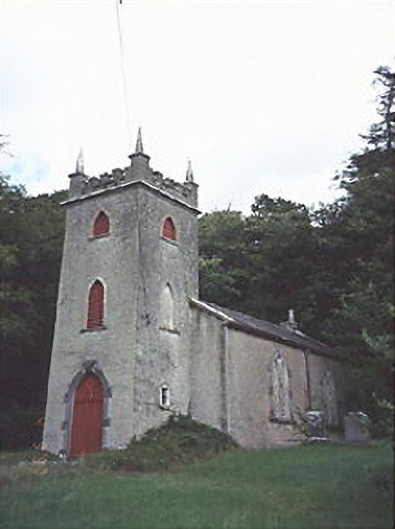 Saint Peter's Church (Curraclone)church/chapel · 1449 yd
 Brackney WoodForest · 1.0 mi
 IndicatedEnclosure · 1.1 mi
 Castle MitchellCastle, unclassified · 1.4 mi
 Mass RockNamed rock · 1.7 mi
 Cobbler's Castle WalkWalking route · 1.7 mi
 Site of Ballymanus CastleCastle, unclassified · 1.7 mi
 Beech Way WalkWalking route · 1.7 mi
 Oughaval Wood MapVisitor information · 1.9 mi
Other information
Photo: Credit not shown in the picture search · Rights wording not checked; contact us if this picture should be removed