What is recorded here
Situated in undulating countryside with forestry to the E. No evidence of bank or ditch, a ring of trees, classify as a tree-ring. Depicted not as a tree-ring but as an archaeological monument on the first edition of the OS 6-inch map. May have been an archaeological monument that was converted into a tree ring.
From the National Monuments Service (Archaeological Survey of Ireland) record LA019-005
The monument record does not grant public access. Check the route and ask the landowner before entering private land.
- What survives
- Recorded monument
Places near here
 Pedunculate Oak586 ydPedunculate Oak998 yd
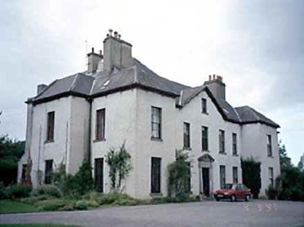 Ballykilcavan HouseHouse · 1090 ydBeech Way WalkWalking route · 1202 ydMass RockNamed rock · 1231 ydCobbler's Castle WalkWalking route · 1326 yd
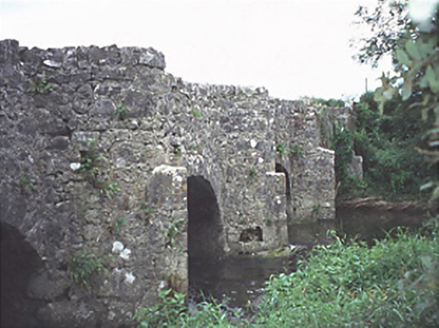 bridge1404 ydEnclosure in Brockley ParkEnclosure · 1455 yd
 Oughaval Wood MapVisitor information · 1552 yd
 CemeteryGraveyard · 1.0 mi
 Dm PenderMemorial · 2.0 mi
.jpg/250px-St_Brigid's_Well_(30653).jpg "Photo: A.-K. D., Wikimedia Commons · CC BY-SA 4.0") OutlinedHoly well · 2.0 mi
OutlinedHoly well · 2.0 miPictures: Algirdas at Lithuanian Wikipedia, Wikimedia Commons · Public domain; National Inventory of Architectural Heritage; Graham Horn, Geograph · CC BY-SA 2.0; A.-K. D., Wikimedia Commons · CC BY-SA 4.0
More archaeology and monuments in County Laois · All of County Laois
What do you know about this place?