
What is recorded here
Remains of an earthen bank (Wth c. 3.5m, Int. H. c. 1.4m, Ext. H. c. 1.7m) with an external stone facing encloses the sub-circular shaped graveyard (LA014-035002-), may be remains of an inner ecclesiastical enclosure (diam. c. 50m N-S; 40m E-W) of Early Christian date (Fitzpatrick 1991, 213-5). The semi-circular curving field boundary (H 1.5m; Wth 2m) 60m to the N of the church (LA014-035001-) and graveyard (LA014-035002-) which acted as the boundary for the glebe land of the church as indicated on the 1840 ed. OS 6-inch map may be the remains of an outer ecclesiastical enclosure (diam. c. 125m N-S; 143m E-W) of Early Christian date (Fitzpatrick 1991, 214). The possible ecclesiastical enclosure runs off the Stradbally River which may have acted as the enclosing element on the W side of the graveyard. The E bank of this river is 40m W of the graveyard boundary wall.
The above description is derived from the published 'Archaeological Inventory of County Laois' (Dublin Stationery Office, 1995) compiled by P. David Sweetman, Olive Alcock and Bernie Moran. In certain instances the entries have been revised and updated in the light of recent research.
Revised by: Caimin O'Brien
Date of revised upload: 11 March 2015
The monument record does not grant public access. Check the route and ask the landowner before entering private land.
- What survives
- Recorded monument
Places near here
 Site of ChurchChurch · 18 yd
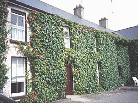 Inch Househouse · 457 yd
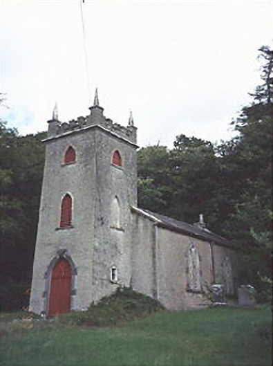 Saint Peter's Church (Curraclone)church/chapel · 985 yd
 Hachured, Dandys HillFairy fort / earthen ringfort · 1336 yd
 Site of Ballymanus CastleCastle, unclassified · 1570 yd
 Black WalnutBlack Walnut · 1.1 mi
 Blackford Castle (in Ruins)Castle, tower house · 1.4 mi
 Ballyduff WoodWood · 1.8 mi
 Beech Way WalkWalking route · 2.1 mi
 CEMETERYGraveyard · 2.1 mi
 Mass RockNamed rock · 2.2 mi
 Oughaval Wood MapVisitor information · 2.2 mi
Other information
Photo: Credit not shown in the picture search · Rights wording not checked; contact us if this picture should be removed