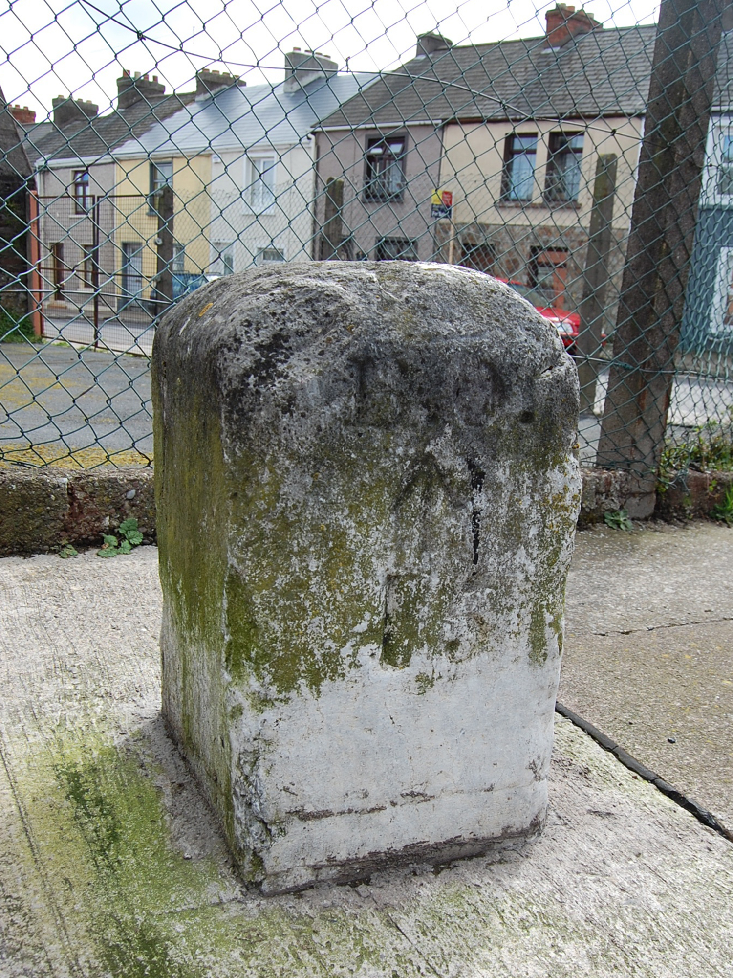
Places near here
Photo credits
- National Inventory of Architectural Heritage
- Robin Webster, Geograph · CC BY-SA 2.0
 Balloon Surprise Party ShopHouse · 1298 yd
Explorer Tom Balloon Surprise Party Shop in Cork City, County Cork is actually a mid-nineteenth-century house that just gave up on…
 quay/wharf1302 yd
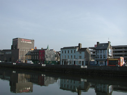
Explorer Tom Quay or wharf in Cork City is another limestone quay from eighteen-twenty. It’s part of a group along the river Lee and…
 O' CallaghanOffice · 1333 yd
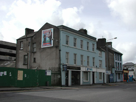
Explorer Tom O' Callaghan on Lavitt's Quay hears the ghosts of old quayside workers arguing about who forgot to put the kettle on…
 William Clarke and SonOffice · 1386 yd
Explorer Tom William Clarke and Son has a history that goes from provisions to waste paper, so it’s seen some things. The red brick…
 NathansHouse · 1406 yd
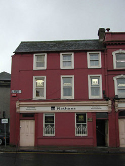
Explorer Tom Nathans house on Coal Quay dates from around 1880 and has kept its timber sash windows despite being an office now.…
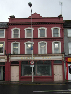 Norton Bros.Office · 1411 yd
Explorer Tom Norton Bros. on Coal Quay is an office that survived the century by being too stubborn to leave. It’s probably hiding a…
 Ian Cuneen Lock and Safe Co.House · 1417 yd
Explorer Tom Ian Cuneen Lock and Safe Co. on Coal Quay used to keep secrets, now it just keeps memories. Early nineteenth century…
 The Tackle ShopHouse · 1423 yd
Explorer Tom The Tackle Shop in Cork City is one of the few old houses left on the quays. It retains timber sash windows and a slate…
 IpicsHouse · 1428 yd
Explorer Tom Ipics on Coal Quay is an old house pretending to be a business. It’s one of the few early nineteenth century survivors…
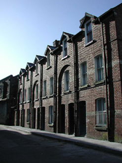 apartment/flat (purpose-built)1434 yd
Explorer Tom Apartment or flat in Cork City is currently feuding with the next block over about whose windows are more impressive to…
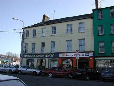 Sunblind & Curtain CentreHouse · 1441 yd
Explorer Tom Sunblind & Curtain Centre in Cork City is actually a former terrace of houses built around 1845 that now serves retail…
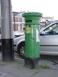 post box1442 yd
Explorer Tom Post box in Cork City has given up sweets for Lent but kept all the secrets people shoved into it since 1890. That…
More historic places in County Cork · All of County Cork

What do you know about this place?Tap to add a comment or ask a question