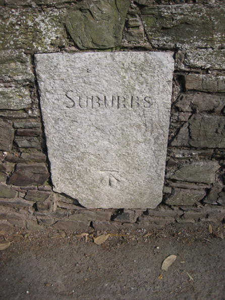
What is recorded here
Wall mounted limestone marker, c.1860, marking the boundary between Cork city and suburbs. Square-profile slab with inscribed lettering reading 'SUBURBS' and having Ordnance Survey benchmark to base. Set in rubble stone wall on north side of road.
This noteworthy piece of street furniture marks the boundary between Cork city and its suburbs. The benchmark to its base is a reminder of the work of the Ordnance Survey during the nineteenth-century, when the country was comprehensively mapped for the first time.
This does not grant access. Most recorded buildings are privately owned; view them only from public ground unless the owner allows entry.
Places near here
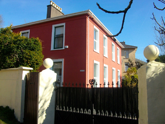 Adelaide Lodgehouse · 35 yd
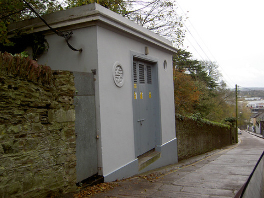 electricity substationelectricity substation · 77 yd
 Thomas Kent StationMemorial · 402 yd
 St Brendans Ch (Site of)Church · 418 yd
 150th Anniversary of Railways in CorkMemorial · 420 yd
 Cork WalksVisitor information · 803 yd
 Ladys WellHoly well · 1224 yd
 Mashanaglass Castle (in Ruins)Castle, tower house · 20 mi
 Summerhouse WoodForest · 20 mi
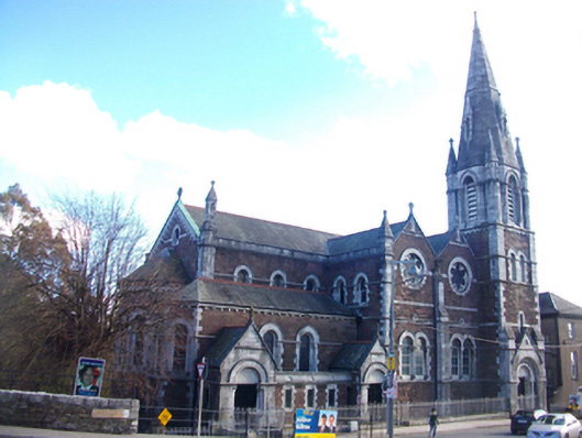 St Luke's Church of Ireland Churchchurch/chapel · 92 yd
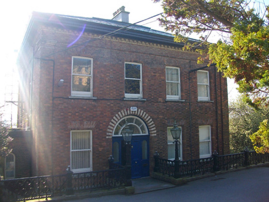 Westborohouse · 96 yd
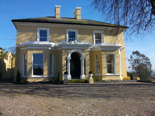 Arbutus Lodgehouse · 121 yd
Other information
Photo: National Inventory of Architectural Heritage · Website use allowed for educational or private purposes with source credit