
What is recorded here
From OpenStreetMap (© OpenStreetMap contributors) n332373246
Places near here
Photo credits
- Maker not stated on source page, www.pinterest.com
- Maker not stated on source page, www.tripadvisor.com
- Maker not stated on source page, commons.wikimedia.org
- Andrew Wood, Wikimedia Commons · CC BY-SA 2.0
- Willow, Wikimedia Commons · CC BY 2.5
- National Inventory of Architectural Heritage
- Colin Park, Geograph · CC BY-SA 2.0
- mozzercork from Republic of Ireland, Wikimedia Commons · CC BY 2.0
- Phil Armitage, Wikimedia Commons · Public domain
- Maker not stated on source page, www.alamy.com
- Berthold Strucken, Wikimedia Commons · CC BY-SA 4.0
- PST Sport, installation contractor; individual aerial photographer not named, pstsport.com
 Standing stone in CousaneStanding stone · 1084 yd
Explorer Tom Standing stone in Cousane is on a ridge, staring down the valley like it knows your secrets. Dare you to say hello to…
 Stone CircleAnomalous stone group · 1.1 mi
Explorer Tom Stone Circle in Glanycarney is playing dead. Three stones are still standing, but one's flat on its back like a lazy…
 Enclosure in Farnanes (carbery E. (w.d) By.)Enclosure · 2.6 mi
Explorer Tom Enclosure in Farnanes By. is wearing conifer trees like a bad 90s hairstyle, hiding its little 18-metre secret…
 Aireagal Naomh Finbarr [Saint Finbarr's Oratory]Church/chapel · 5.1 mi
Explorer Tom Aireagal Naomh Finbarr is on a tiny island at the source of the River Lee. Built in 1903, it’s very Celtic Revival and…
 European ash5.2 mi
Explorer Tom European ash in Cork is terrified of dying young, so it's overthinking everything. If it won the lotto, it would buy a…
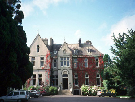 Cahernane HouseCountry house · 21 mi
Explorer Tom Cahernane House thinks it has an imaginary twin across the sea that looks exactly like it but wears better hats. The…
 Shehy MountainMountain / peak · 22 mi
Explorer Tom Shehy Mountain is the quieter eastern sibling of Purple Mountain above Killarney, and it is rather good at avoiding the…
 Purple MountainMountain / peak · 22 mi
Explorer Tom Purple Mountain rises beside Kerry's Gap of Dunloe with the air of a giant who chose his cloak before checking the…
 O'Sullivan's CascadeWaterfall · 23 mi
Explorer Tom O'Sullivan's Cascade is hiding in Tomies Wood on the western side of Killarney's Lough Leane, and Tom is convinced a…
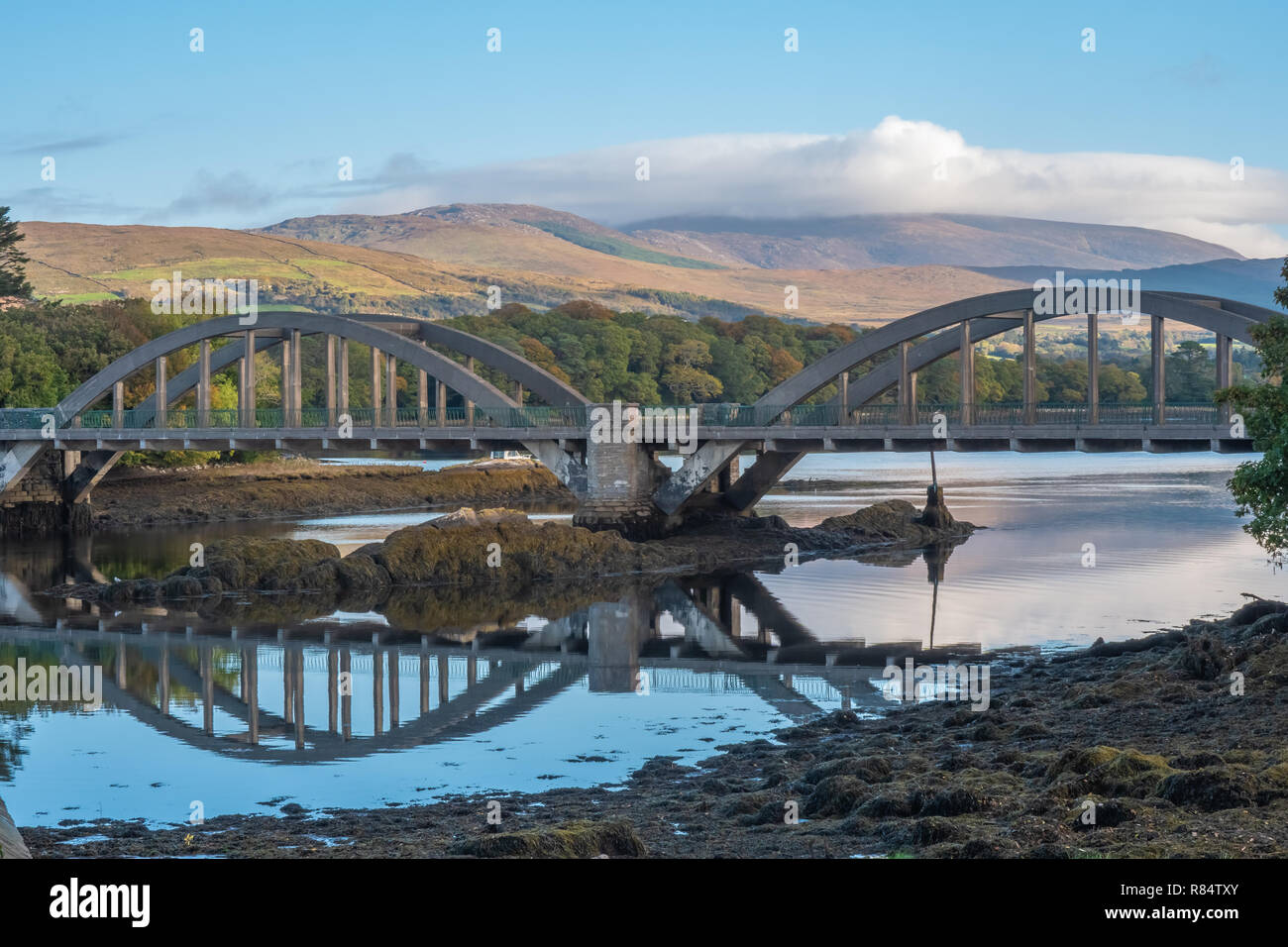 Very small BridgeVisitor attraction · 23 mi
Explorer Tom Very small Bridge has very strong opinions about modern buildings, particularly that they are all too big and not…
 Dunloe Ogham StonesHeritage attraction · 25 mi
Explorer Tom Eight ogham stones stand together at Coolmagort near Beaufort, and they have travelled through several lives without…
 Beaufort GAA pitchGAA ground · 26 mi
More mountains and hills in County Cork · All of County Cork

What do you know about this place?Tap to add a comment or ask a question