What is recorded here
In rough hill pasture, on steep N-facing slope overlooking the Roughty River valley. The most easterly of two small roughly circular sheepfolds (diam. c. 4m) indicated on 1895 OS 6-inch map and c. 40m apart. This possible enclosure is not visible at ground level. Recently constructed farm roads, which zig-zags through the hillside, may have damaged these enclosures. Remains of a third possible enclosure (KE094-006002-) was located c. 5m to SE.
The above description is derived from the published 'Archaeological Inventory of County Kerry. Volume I: South-West Kerry' (Dublin: Stationery Office, 2009). In certain instances the entries have been revised and updated in the light of recent research.
Date of upload: 30 May 2011
The monument record does not grant public access. Check the route and ask the landowner before entering private land.
- What survives
- Recorded monument
Places near here
 SheepfoldsEnclosure · 45 yd
 IndicatedFairy fort / earthen ringfort · 388 yd
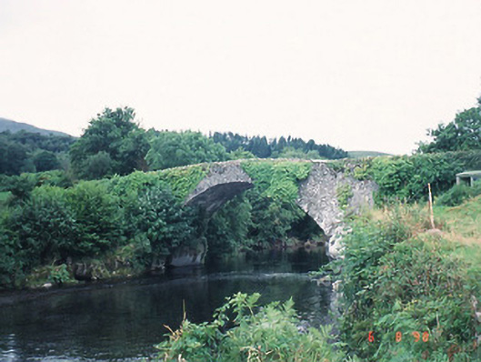 Ardtully Old Bridgebridge · 1210 yd
 Castle (Site of)Castle, unclassified · 1225 yd
 European YewEuropean Yew · 1261 yd
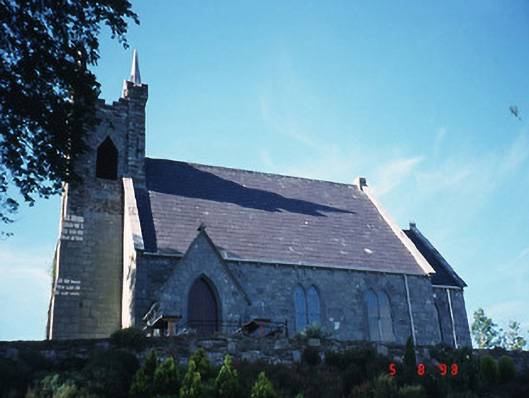 Michael J. Quill Centrechurch/chapel · 1280 yd
 Battle of Callannbattle · 1738 yd
 Great Southern & Western RailwayMemorial · 1.1 mi
 Kilgarvan Motor MuseumMuseum · 1.2 mi
 KnockbrackMountain / peak · 1.5 mi
 Knockbrack South TopMountain / peak · 2.3 mi
 Shanagarry Castle (Site of)Castle, unclassified · 3.1 mi