What is recorded here
Marked sheepfold on the second edition of the OS maps, no trace of this site survives. It was located in an area of cut bog a short distance W of the Kealduff river. O'Sullivan and J. Sheehan (compilers), 'The Iveragh peninsula: an archaeological survey of South Kerry'. Cork University Press (1996), no. 1442.
From the National Monuments Service (Archaeological Survey of Ireland) record KE091-020
The monument record does not grant public access. Check the route and ask the landowner before entering private land.
- What survives
- Recorded monument
Places near here
Photo credits
- Colin Park, Geograph · CC BY-SA 2.0
- Espresso Addict, Geograph · CC BY-SA 2.0
- National Inventory of Architectural Heritage
- Mick Garratt, Geograph · CC BY-SA 2.0
- Robotforaday at en.wikipedia, Wikimedia Commons · Public domain
- David Purchase, Geograph · CC BY-SA 2.0
- Angela Herlihy, Geograph · CC BY-SA 2.0
- Gordon Hatton, Geograph · CC BY-SA 2.0
- Marathon, Geograph · CC BY-SA 2.0
- Enter, Wikimedia Commons · CC BY-SA 4.0
 KnocklomenaMountain / peak · 2.6 mi
 Beann South TopMountain / peak · 2.9 mi
 Ballaghbeama GapViewpoint · 3.1 mi
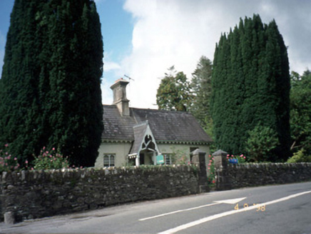 Blackwater CottageHouse · 3.5 mi
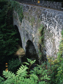 Blackwater BridgeBridge · 3.5 mi
 Lackeen PointHeadland · 4.0 mi
 Dromore CastleCastle · 4.2 mi
 Rossmore IslandIsland · 5.2 mi
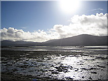 Coss StrandBeach / strand · 5.2 mi
 Ormond's IslandIslet · 5.4 mi
 De Gaulle MemorialMonument · 6.4 mi
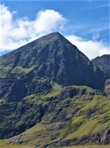 CarrauntoohilMountain / peak · 7.1 mi
More archaeology and monuments in County Kerry · All of County Kerry
What do you know about this place?