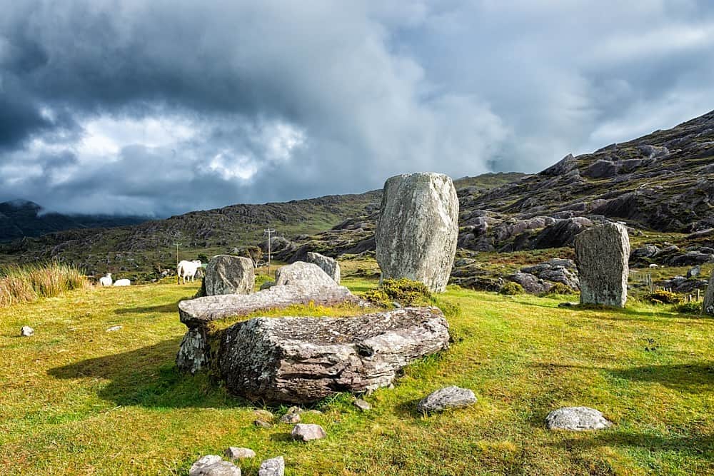
What is recorded here
In rough hill pasture, on the lower N-facing slopes of Knocknaveacal. The remains of a rectangular hut site (6.1m NE-SW; 1.6m NW-SE) defined by a well-built, uncoursed rubble wall (T 0.6m; H 0.4m at NE; H 1.6m at SW) along the NE, SW and NW sides and by the vertical face of high outcropping rock (on a NE-SW axis) which forms the SE side. The stone wall is grass covered and partly collapsed. There is an entrance (Wth 0.6m) in the NW wall. Boulders abut the wall externally at SW. A stream flows beside the NW wall of the hut site.
The above description is derived from the published 'Archaeological Inventory of County Kerry. Volume I: South-West Kerry' (Dublin: Stationery Office, 2009). In certain instances the entries have been revised and updated in the light of recent research.
Date of upload: 30 May 2011
The monument record does not grant public access. Check the route and ask the landowner before entering private land.
- What survives
- Recorded monument
Places near here
 StonecircleArchaeological place · 161 yd
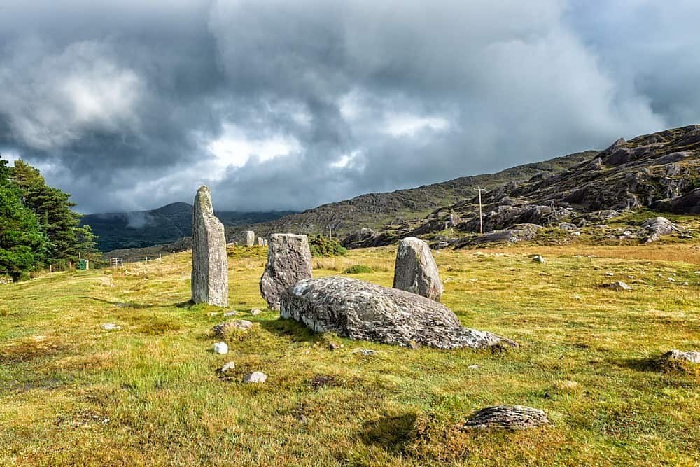 Field boundary in CashelkeeltyField boundary · 169 yd
 Eskadawer Br.Bridge · 1064 yd
 CummeennahillanMountain / peak · 1535 yd
 Drung HillMountain / peak · 1615 yd
 Croanshagh Br.Bridge · 1.4 mi
 Bird IslandIslet · 1.6 mi
 Japanese cedarJapanese cedar · 1.7 mi
 Soft Tree-fernSoft Tree-fern · 1.7 mi
 Crane IslandIslet · 2.1 mi
 Ardgroom Pulleen LoopWalking route · 3.4 mi
 Mare's Tail WaterfallViewpoint · 4.8 mi
Other information
Photo: Credit not shown in the picture search · Rights wording not checked; contact us if this picture should be removed