What is recorded here
Places near here
Photo credits
- National Inventory of Architectural Heritage
- Maker not stated on source page, www.discoverireland.ie
- Andrew Wood, Wikimedia Commons · CC BY-SA 2.0
- Maker not stated on source page, www.irelandbeforeyoudie.com
- Maker not stated on source page, commons.wikimedia.org
- Adriaen van Diest, Wikimedia Commons · Public domain
- Maker not stated on source page, heritageireland.ie
- Andreas F. Borchert, Wikimedia Commons · CC BY-SA 4.0
- Mick Garratt, Geograph · CC BY-SA 2.0
- Graham Horn, Geograph · CC BY-SA 2.0
- Maker not stated on source page, www.flickr.com
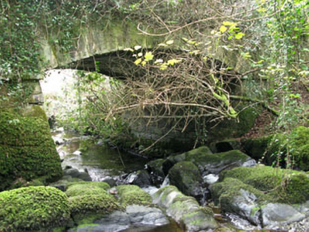 Ahakista BridgeBridge · 1366 yd
Explorer Tom Ahakista Bridge would order a massive portion of chips and salt, then complain about the price of the vinegar on the…
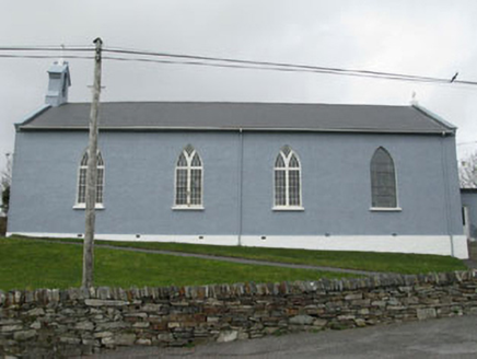 St. Patrick's Roman Catholic ChurchChurch/chapel · 1390 yd
Explorer Tom St. Patrick's Roman Catholic Church sits up high like it’s judging your life choices from a hill. It’s got stained…
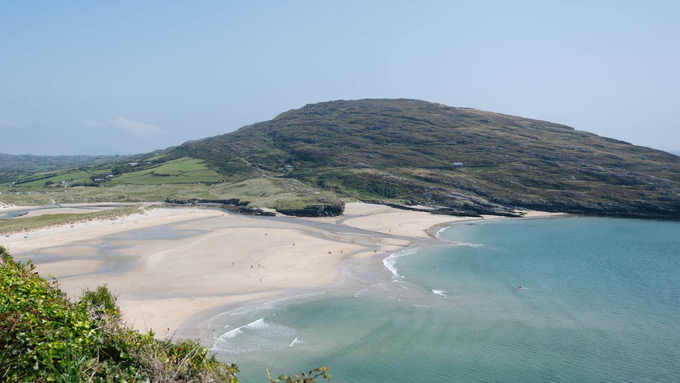 Ahakista Strand (Kitchen Cove)Beach / strand · 1540 yd
Explorer Tom Ahakista Strand (Kitchen Cove) thinks tourists from Dublin talk too much about their airbnbs and not enough about the…
 Rosskerrig MountainMountain / peak · 1.6 mi
Explorer Tom Rosskerrig Mountain is locked in a bitter feud with its neighbour over who actually owns the sunset view. Two local…
 Furze IslandIslet · 3.7 mi
Explorer Tom Furze Island claims it’s older than the concept of time itself, which is a bold claim for such a small patch of dirt.…
 Wedge tomb in RatooraghWedge tomb · 4.1 mi
Explorer Tom Wedge tomb in Ratooragh is open on one side because it lost its roofstone, so it’s basically a stone tent that forgot…
 Battle of Bantry BayMajor battlefield · 4.3 mi
Explorer Tom Battle of Bantry Bay in County Cork is where a French admiral got his arse kicked by the weather before he even saw an…
 Fairy fort / earthen ringfort in RatooraghFairy fort / earthen ringfort · 4.3 mi
Explorer Tom Ratooragh’s fort was built after two families fought over who owned the sunset view. It has a three-metre earthen bank…
 Dunmanus BayBay · 4.7 mi
Explorer Tom Dunmanus Bay fills the long space between Sheep's Head and the Mizen Peninsula, with West Cork villages and small piers…
 Dunmanus PointHeadland · 4.8 mi
Explorer Tom Dunmanus Point in County Cork was designed by a mother-in-law who liked things sharp, angular, and ready to judge your…
 Dunmanus Castle (in Ruins)Castle, tower house · 5.1 mi
Explorer Tom Dunmanus Castle is a proper four-storey beauty with a five-storey corner tower that looks like it’s shouting at the…
 O'Mahony CastleCastle · 5.1 mi
Explorer Tom O'Mahony Castle in County Cork has strict rules for visitors that include no talking louder than a whisper and…
More walking routes in County Cork · All of County Cork

What do you know about this place?Tap to add a comment or ask a question