What is recorded here
From OpenStreetMap (© OpenStreetMap contributors) n5620011200
Places near here
Photo credits
- Oliver Dixon, Wikimedia Commons · CC BY-SA 2.0
- Maker not stated on source page, ru.pinterest.com
- Maker not stated on source page, www.tripadvisor.com.au
- Maker not stated on source page, commons.wikimedia.org
- National Inventory of Architectural Heritage
- Maker not stated on source page, fi.pinterest.com
- Maker not stated on source page, www.flickr.com
- Neil Arthurs, Neil Arthurs: Landscape Photography
- Maker not stated on source page, www.pinterest.com
- Maker not stated on source page, en.wikipedia.org
- Schcambo at English Wikipedia, Wikimedia Commons · Public domain
 Shay Elliott memorialMemorial · 104 yd
Explorer Tom Shay Elliott memorial is where a love story went catastrophically wrong next door in 1942. The heartbreak is so potent…
 Waterfall1.5 mi
Explorer Tom Waterfall is so generic that locals swear if you sneeze on it, your shoelaces will tie themselves in knots by dinner…
 Castle HillMountain / peak · 1.7 mi
Explorer Tom Castle Hill is guarding a hidden treasure that turns out to be a rusty biscuit tin full of old coins. Every explorer…
 Ballinacor GAAGAA ground · 1.7 mi
 Knockrath HouseWorker's house · 1.8 mi
Explorer Tom Knockrath House would complain to the council that its picturesque estate vibe is being ruined by your noisy car. It…
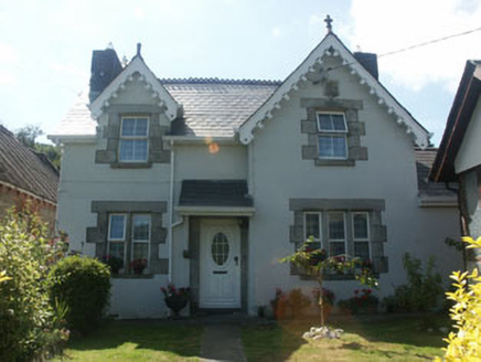 worker's house1.9 mi
Explorer Tom Worker's house in Knockrath Little is locked in a bitter feud with the rain, which refuses to respect its uPVC windows.…
 Bullaun stone in Ballintombay UpperBullaun stone · 2.4 mi
Explorer Tom The other Bullaun stone in Ballintombay Upper is actually missing, which means it’s playing the ultimate game of…
 Fairy fort / earthen ringfort in Ballyhad UpperFairy fort / earthen ringfort · 2.5 mi
Explorer Tom Fairy fort / earthen ringfort in Ballyhad Upper is a real mess, covered in conifers and iron slag from some ancient…
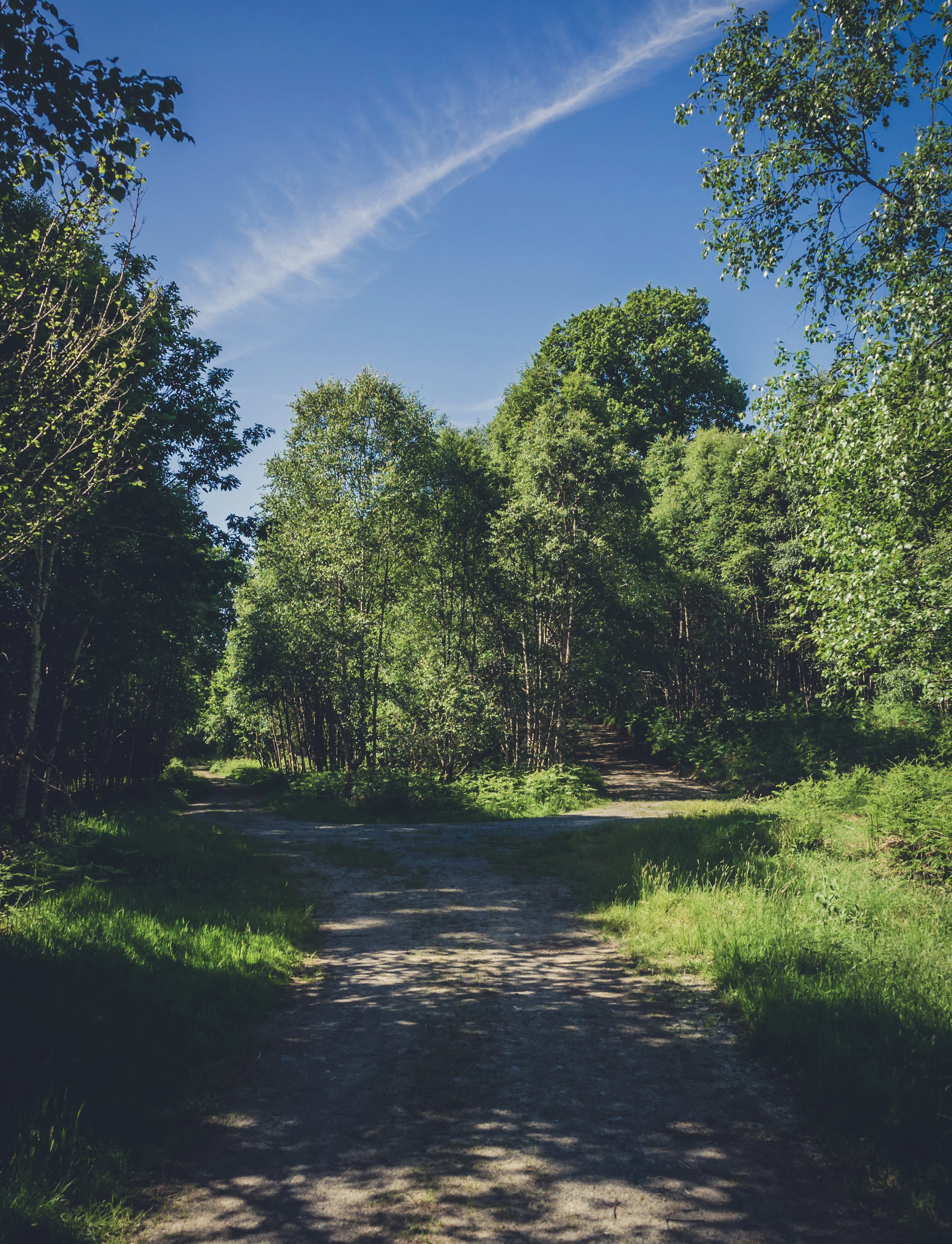 Vale of Clara Nature ReserveNature reserve · 3.6 mi
Explorer Tom The Vale of Clara near Rathdrum is a Wicklow oak wood beside the Avonmore River, where the path quietens under the…
 Ballygannon Wood Red WalkWalking route · 3.8 mi
Explorer Tom Ballygannon Wood Red Walk in County Wicklow would love to complain to the council about the lack of benches for its…
 Native Woodland Trust: Paddock Hill ReserveNature reserve · 4.4 mi
Explorer Tom Paddock Hill Reserve above Laragh is the sort of place that makes a young woodland seem older than its years, mainly…
 CloghernaghMountain / peak · 4.5 mi
Explorer Tom Cloghernagh stands above Glenmalure like Lugnaquilla's quieter accomplice, a broad Wicklow summit that makes you earn…
More viewpoints and information in County Wicklow · All of County Wicklow

What do you know about this place?Tap to add a comment or ask a question