What is recorded here
A church (WM012-003----) and a medieval hall or building (WM012-023----) are depicted on the 1654-56 Down Survey map of Leny and Tyfarnham parish (NLI, MS 723-4). The terrier of the Down Survey parish map recorded that in this parish are 'Scituate the Hall & Church of Tyfarnan' (ibid.)
Tyfarnham church is annotated as a 'Chapel' on the 1837 ed. OS 6-inch map where it is shown standing in the W quadrant of a churchyard (WM012-003001-). The levelled chapel stands in a field covered with numerous rectilinear earthworks clustered to the NE and which are clearly visible on Digital Globe aerial photograph taken November 2011. The earthworks appear to form a series of small rectangular enclosures and may represent a clustered settlement contemporaneous with the church and hall. In the NE corner of this field are the remains of a square-shaped enclosure . Immediately S of the chapel there is a curving linear earthwork which possibly represents the remains of a sunken way or roadway. Cultivation ridges running roughly E-W and N-S are also visible on the aerial photographs. A rectangular-shaped earthwork (WM012-023----) located 155m to the S may represent the remains of the 'Hall' depicted on the 1654-56 Down Survey map of Leny and Tyfarnham parishes.
Compiled by: Caimin O'Brien
Date of upload: 16 November 2017
The monument record does not grant public access. Check the route and ask the landowner before entering private land.
- What survives
- Recorded monument
Places near here
 ChapelChurch · 101 yd
 Partially hachuredFairy fort / earthen ringfort · 150 yd
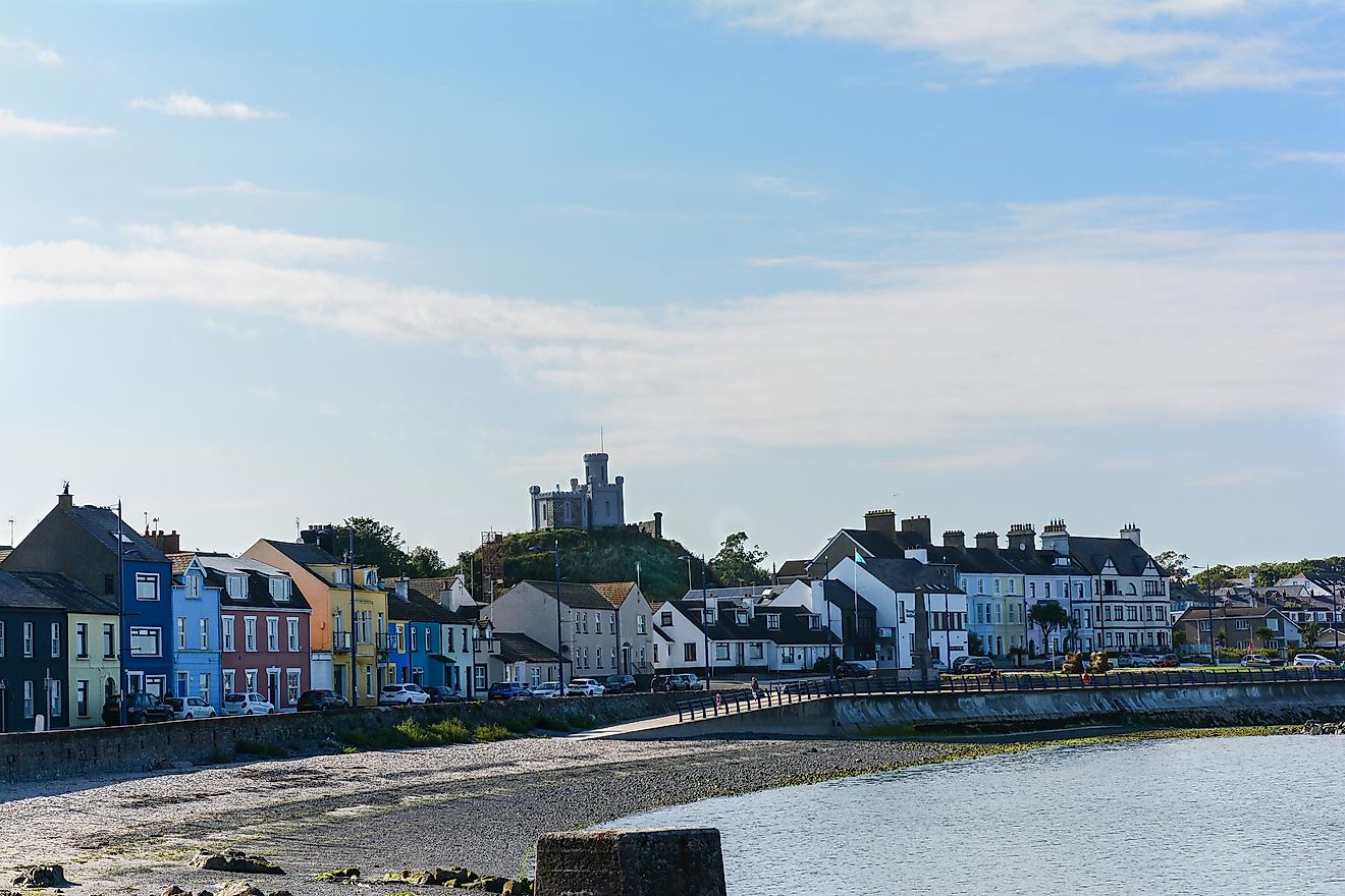 RahanduffFairy fort / earthen ringfort · 1217 yd
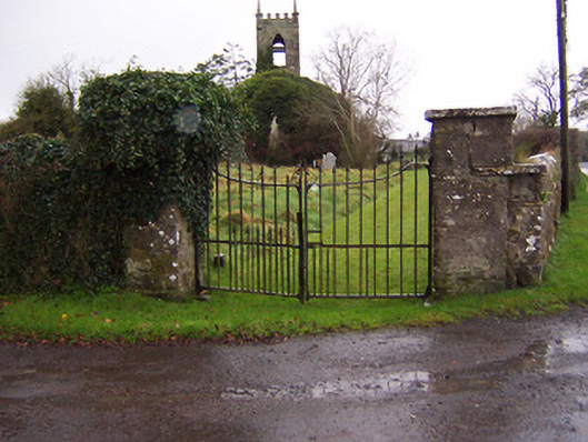 Church of Saint John the Baptist (Stonehall)church/chapel · 1267 yd
 CastleCastle, motte · 1298 yd
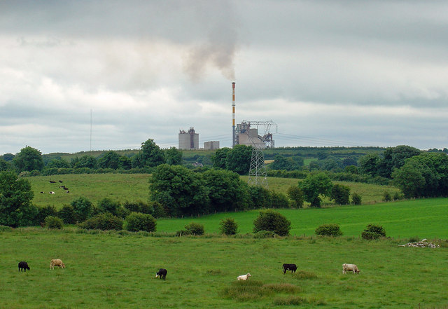 Partially indicatedCastle, motte · 1.6 mi
 Bridge Memorial (Kenna)Memorial · 1.9 mi
 Scragh Bog Nature ReserveNature reserve · 2.0 mi
 KnockeyonMountain / peak · 2.8 mi
 Church IslandIsland · 2.9 mi
 Long PlantingForest · 3.1 mi
 Carrickphilbin IslandIslet · 3.5 mi