What is recorded here
The following description is derived from both the published 'Archaeological Inventory of County Louth' (Dublin: Stationery Office, 1986) and the 'Archaeological Survey of County Louth' (Dublin: Stationery Office, 1991). In certain instances the entries have been revised and updated in the light of recent research.
Date of upload/revision: 17 July 2007
Locally known as 'Mullavilla', situated on high ground which falls away to the N and S, and consisting of a complex of irregular platforms and enclosures. The site covers c. seven acres in extent and has been disturbed by the cutting of a modern trackway across its central portion. Five irregular platforms can be identified. Most are rectangular or sub-rectangular (Wth c. 5m, L 5-15m) and some have slight evidence for enclosing banks. The enclosures vary considerably in size, shape and form, the smallest being almost 14m square with enclosing banks, others being large sub-rectangular sunken areas. There is no regular pattern or scheme, such as the association of platforms with the enclosures, and no obvious evidence for a sunken way. Motte LH021-027002- is situated just to the E, giving credence to the interpretation of this site as a deserted medieval village. However, an archaeological excavation of a limited area of the site in 1987, directed by T.B. Barry, indicated that it may be a post medieval rather than a medieval desertion (Medieval Archaeology 32 (1988), 297-8).
The monument record does not grant public access. Check the route and ask the landowner before entering private land.
- What survives
- Recorded monument
Places near here
 CastleCastle, motte · 98 yd
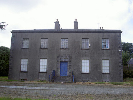 Piperstown Housecountry house · 506 yd
 Church (in Ruins)Church · 913 yd
 ToberanelshyHoly well · 1.2 mi
 Man-made underground passage in BrittasMan-made underground passage · 1.4 mi
 Chapel (in Ruins), GraveyardChurch · 2.0 mi
 CarstownCastle, unclassified · 2.1 mi
 MonasterboiceEarly monastic site · 2.6 mi
 Muiredach's High CrossHeritage attraction · 2.6 mi
 BarabonaMountain / peak · 3.5 mi
 Yellow IslandIslet · 4.7 mi
 Grove IslandIslet · 4.7 mi