What is recorded here
Cropmark of possible deserted medieval settlement visible on Digital Globe aerial photograph taken 28/06/2018.
See attached image of Google Earth photograph taken 28/06/2018 which shows cropmark of possible settlement based on information supplied by Anthony Murphy
Compiled by: Caimin O'Brien based on details kindly provided by Anthony Murphy
Date of upload: 19 February 2019
The monument record does not grant public access. Check the route and ask the landowner before entering private land.
- What survives
- Recorded monument
Places near here
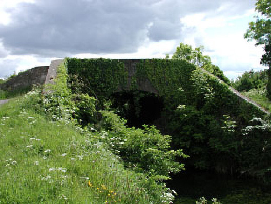 Pim Bridgebridge · 216 yd
 Enclosure in NewparkEnclosure · 510 yd
 Enclosure in BallintineEnclosure · 1013 yd
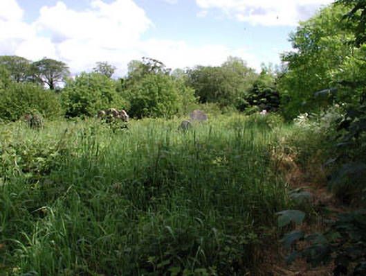 graveyard/cemeterygraveyard/cemetery · 1503 yd
 Bawn in Grangeclare WestBawn · 1755 yd
 Kilmeague CastleRuins · 1.3 mi
 Hill of AllenMountain / peak · 1.3 mi
 Grand Canal WayVisitor information · 2.7 mi
 Lullymore Heritage ParkHeritage attraction · 3.7 mi
 Foran's WoodForest · 3.8 mi
 Killina BogWood · 3.9 mi
 Bithia Mary CrokerMemorial · 5.6 mi