What is recorded here
Listed as a settlement in the Civil Survey (Simington 1949, 158). The settlement of Loughglinn was described (Weld 1832, 302) as closer to the lake than the present village and marked by two trees which were then in a plantation. It may have been close to the castle (RO020-003001-), but it remains unlocated.
Compiled by: Michael Moore
Date of upload: 24 August 2010
The monument record does not grant public access. Check the route and ask the landowner before entering private land.
- What survives
- Recorded monument
Places near here
 Catholic Church of Our Lady of Good Counselchurch/chapel · 335 yd
 St Bridgets WellHoly well · 404 yd
 TowerCastle, tower house · 945 yd
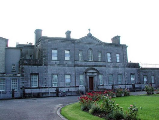 Loughglinn Housecountry house · 1200 yd
 IndicatedFairy fort / earthen ringfort · 1487 yd
 Druminagh WoodForest · 1.8 mi
 Fairymount HillMountain / peak · 3.4 mi
 Clonalis HouseMuseum · 3.4 mi
 CastleCastle, unclassified · 4.4 mi
 Coolougher WoodForest · 4.8 mi
 Workhouse MemorialMemorial · 5.3 mi
 Silver IslandIslet · 5.6 mi