What is recorded here
Six low house platforms and a sunken roadway still mark the deserted medieval settlement in County Meath, preserving a community that vanished before modern farms covered the area. The Parys family held Agher from the fourteenth century until Tudor conspiracies stripped them of the land around 1550, after which the Gernons built a castle and expanded the estate. Later owners laid out gardens near the site, yet the old ground shapes survived beneath the pasture, waiting for someone to walk across them and imagine the hands that first shaped them.
Aerial photograph (GB89.M.09) shows an extensive sequence of low-level earthworks radiating outwards from the church enclosure; the earthworks comprise house plots, a hollow-way, small rectilinear fields and curving boundaries indicating a deserted settlement, probably of medieval date.
Compiled by: Dr Gillian Barrett for the Archaeological Survey of Ireland.
Date of upload: 10 June 2009
The monument record does not grant public access. Check the route and ask the landowner before entering private land.
- What survives
- Recorded monument
Places near here
 IndicatedEnclosure · 18 yd
 Church in Kilcooly (navan Upper By.)Church · 846 yd
 St Peters WellHoly well · 1033 yd
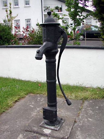 water pumpwater pump · 1146 yd
 Trim CastleCastle, Anglo-Norman masonry castle · 1.4 mi
 CastleCastle, motte · 1.4 mi
 Small-leaved ElmSmall-leaved Elm · 2.4 mi
 Wych ElmWych Elm · 2.4 mi
 Candle HillMountain / peak · 9.1 mi
 MullaghMountain / peak · 9.3 mi
 Kilgar GardensHeritage attraction · 9.7 mi
 Larchil Arcadian GardensHeritage attraction · 9.8 mi