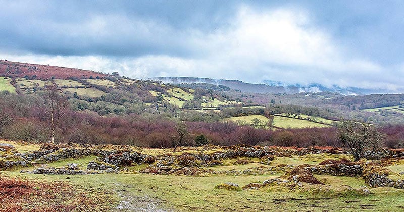
What is recorded here
Situated in pasture on a rise in a low-lying landscape. This is a field of c. 3ha known locally as 'The Old Village'. There is local knowledge of the remains of numerous banks in the area and the discovery of hearths when the land was reclaimed. Nothing is visible at ground level.
The above description is derived from the published 'Archaeological Inventory of County Waterford' (Dublin: Stationery Office, 1999). In certain instances the entries have been revised and updated in the light of recent research.
Compiled by: Michael Moore
Date of upload/revision: 10 June 2011
The monument record does not grant public access. Check the route and ask the landowner before entering private land.
- What survives
- Recorded monument
Places near here
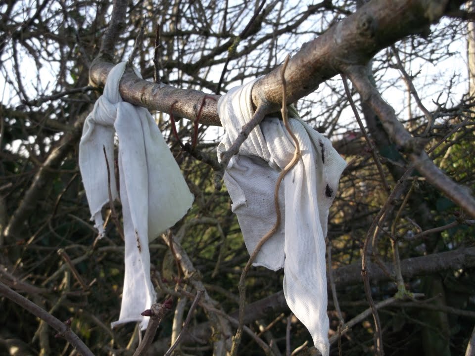 Fairy bushRitual site, holy tree/bush · 634 yd
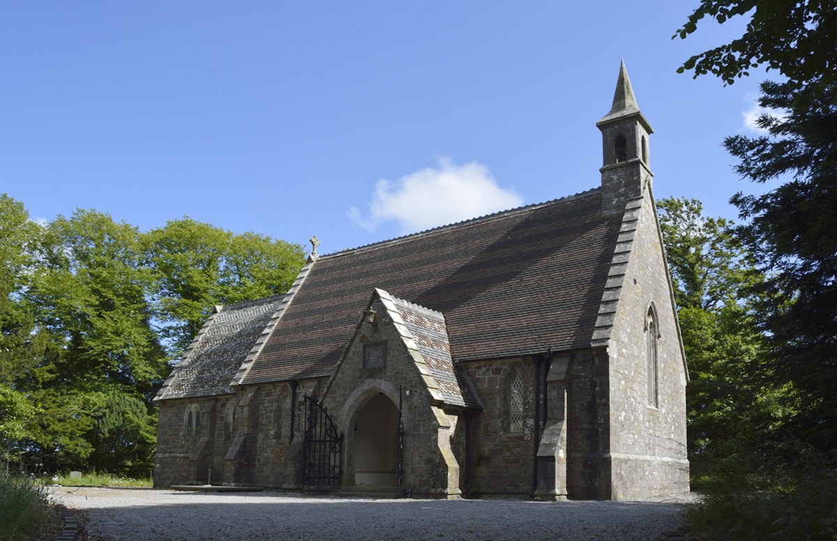 Church (in ruins)Church · 784 yd
 St. John the Baptists WellHoly well · 813 yd
 Fairy Bush LoopWalking route · 920 yd
 The Black Woman's RoadWalking route · 1030 yd
 Island Viewgates/railings/walls · 1301 yd
 Knockavelish HeadHeadland · 1.4 mi
 Fornaght StrandBeach / strand · 1.5 mi
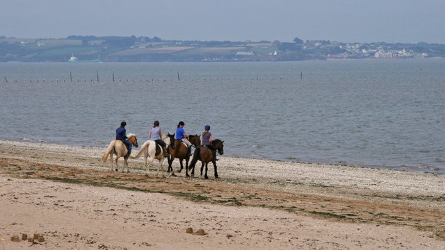 Woodstown StrandBeach / strand · 1.7 mi
 Castle in ruinsCastle, Anglo-Norman masonry castle · 2.0 mi
 Newtown HeadHeadland · 2.4 mi
 South East Coastal DriveVisitor information · 3.3 mi
Other information
Photo: Credit not shown in the picture search · Rights wording not checked; contact us if this picture should be removed