What is recorded here
Once the chief town of County Kilkenny, this place stood on both banks of the Ouveg River, with long burgage plots north of the water and a castle and motte south of it. William de St. Leger held the lands before 1209, and people likely lived, traded and argued there until the town emptied and the river took back its name.
On the banks of the Ouveg River, associated with a castle (KK001-006001-) and motte (KK001-006002-). Orpen (1909, 313-42) mentions that a 'sub-manor held of the signorial manor of Odagh was Rosconnell, including Grenan and Attanagh, lands about the Owveg river, on the border between the county of Kilkenny and Queen's County [Laois]. Early in the thirteenth century, prior to 1209, these lands were held by William de St. Leger. The caput of this manor was probably at Castlemarket, near Rosconnell church [KK001-005001-]'. According to Carrigan (1905, vol. 2, 113), there is a tradition that 'once the chief town of Co. Kilkenny, stood on and around the Court House field, and sites of castle and moat'. Carrigan locates the Court House field to one on the N side of the Ouveg River, while the castle and motte are on the S bank (ibid.). On a Digital Globe aerial image here are at least five parallel linear plots (L c. 140m; Wth c. 13m), aligned NE-SW in the field N of the river, suggestive of burgage plots.
Compiled by: Jean Farrelly
Date of upload: 25 April 2016
The monument record does not grant public access. Check the route and ask the landowner before entering private land.
- What survives
- Recorded monument
Places near here
 (Site of) CastleCastle, unclassified · 17 yd
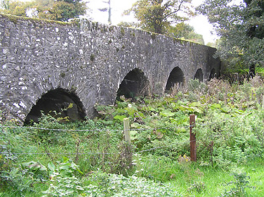 Castlemarket Bridgebridge · 205 yd
 Rosconnell Church (in ruins)Church · 461 yd
 Ladys WellHoly well · 845 yd
 Enclosure in LisbigneyEnclosure · 1533 yd
 Bawn in FermoyleBawn · 1.6 mi
 1798 MonumentMemorial · 1.6 mi
 Common LimeCommon Lime · 1.9 mi
 AskuarWood · 2.6 mi
 Anker's IslandIsland · 3.1 mi
 Graveyard in SraleaghGraveyard · 3.4 mi
 Donaghmore WellSpring · 4.9 mi