What is recorded here
Marked as 'castle in ruins' only on the 1890 edition of the OS 6-inch map and on the Down Survey (1655-6) map. No historical references. Situated at the bottom of a valley. Remains include the East gable with a central fireplace and part of the South wall with simple slit opes of a fortified house (LA029-048) and remains of a bawn wall (LA029-04801) projecting Southwards from the South West angle. No other visible surface remains.
Marked as 'castle in ruins' only on the 1890 edition of the OS 6-inch map and on the Down Survey (1655-6) map. No historical references. Situated at the bottom of a valley. Remains include the East gable with a central fireplace and part of the South wall with simple slit opes of a fortified house (LA029-048) and remains of a bawn wall (LA029-04801) projecting Southwards from the South West angle. No other…
From the National Monuments Service (Archaeological Survey of Ireland) record LA029-048001
The monument record does not grant public access. Check the route and ask the landowner before entering private land.
- What survives
- Recorded monument
Places near here
Photo credits
- National Inventory of Architectural Heritage
- Mike Searle, Geograph · Creative Commons Attribution-ShareAlike 2.0
- A.-K. D., Wikimedia Commons · CC BY-SA 4.0
- No machine-readable author provided. GunnerPoulsen~commonswiki assumed (based on copyright claims)., Wikimedia Commons · CC BY-SA 3.0
- A.-K. D., Wikimedia Commons · CC0
- Algirdas at Lithuanian Wikipedia, Wikimedia Commons · Public domain
- Mike Searle, Geograph · CC BY-SA 2.0
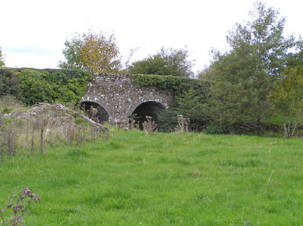 Rosconnell BridgeBridge · 1.3 mi
 Knocknatrina HouseHouse · 1.3 mi
.jpg/250px-Ladywell_Castlemarket_(3).jpg "Photo: A.-K. D., Wikimedia Commons · CC BY-SA 4.0") Ladys WellHoly well · 1.6 mi
Ladys WellHoly well · 1.6 mi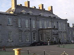 Durrow CastleCastle · 1.8 mi
 1798 MonumentMemorial · 2.5 mi
 Pedunculate Oak2.5 miPedunculate Oak2.6 mi
 St. Finans WellHoly well · 2.8 mi
 Graveyard in SraleaghGraveyard · 4.0 mi
 Abbeyleix Heritage CentreMuseum · 4.3 mi
 Ballygeehin Castle (in Ruins)Bawn · 4.7 mi
 St. Mogarra’s WellSpring · 15 mi
More castles and forts in County Laois · All of County Laois
What do you know about this place?