What is recorded here
The Strafford map of 1636 shows a village with a church in Carron townland (Simington 1949, Ballintober A (25)). Situated on a gentle N-facing slope in a field known locally as the church field. An area of about 10 ha (c. 25 acres) contains about eight small rectangular fields (dims c. 25m x 35m to c. 50m x 50m) defined by earthen banks (Wth 3-5.5m; int. H 0.1-0.2m; ext. H 0.4-0.6m), sometimes with silted drains (Wth 1-2m; D 0.2m), or defined simply by scarps (H 0.2m-0.4m). These fields are at the S end of the complex and are gathered around an open area (Wth c. 10-30m) running NE-SW (L c. 200m) which may be a roadway. At least 6 house platforms (dims c. 5-10m x c. 3m) defined by scarps (H 0.2-0.4m) can be identified close to the possible roadway, and an isolated platform (dims 17m NW-SE; 16m NE-SW) at its SW end may be the church (RO040-051002-). Extending NW of the house platforms and smaller fields are four larger strips divided into fields (dims 90-100 NW-SE; 35-50m NE-SW). The entire field was planted in barley for the first time in 2010. Archaeological testing (11E0320) at the S extremity of the area failed to produce any related material (O'Hara 2011).
Compiled by: Michael Moore
Date of upload: 8th August 2011.
O’Hara, B. 2011 Archaeological monitoring of a proposed development at Carrowroe townland, Co. Roscommon. Licence No. 0320, Unpublished report, Midlands Archaeological Services
The monument record does not grant public access. Check the route and ask the landowner before entering private land.
- What survives
- Recorded monument
Places near here
 Church in CarrowroeChurch · 56 yd
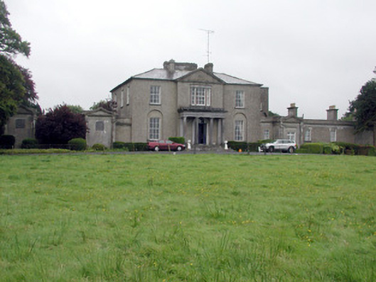 Carrowroe Parkcountry house · 379 yd
 Big IslandForest · 955 yd
 Little IslandForest · 990 yd
 IndicatedFairy fort / earthen ringfort · 1216 yd
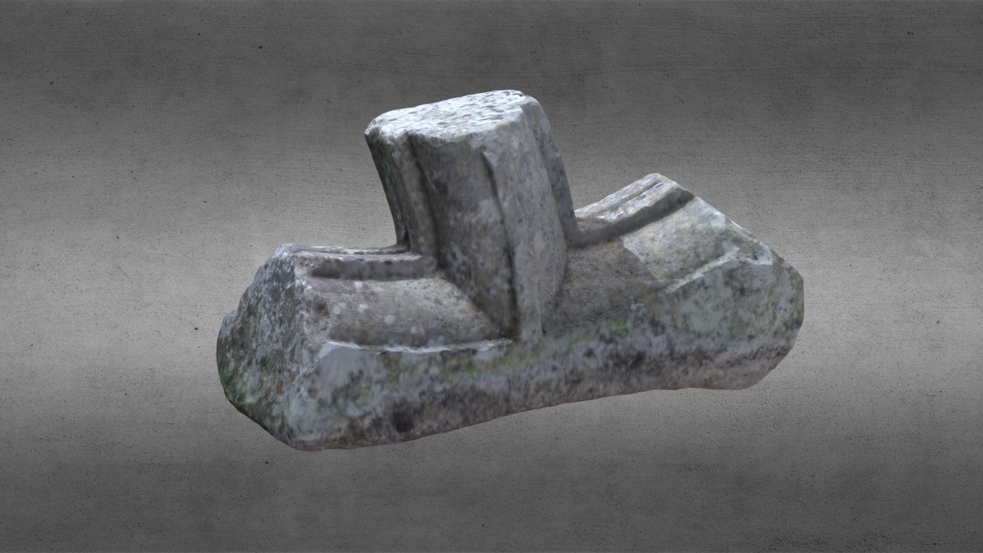 St. Comans VatHoly well · 1.2 mi
 Roscommon CastleCastle · 1.6 mi
 Hangman's HillMountain / peak · 4.0 mi
 Cruit BayBay · 4.9 mi
 Galey CastleCastle, tower house · 5.0 mi
 Galey BayBay · 5.1 mi
 CastleHouse, fortified house · 5.4 mi