
What is recorded here
On a rise in a low-lying landscape. Subcircular grass-covered area (dims 41m E-W; 37m N-S) defined by a scarp (H 0.35-0.65m) W-N, and a fosse (Wth of base 2.1-2.8m; ext. D 0.4-0.6m) N-S-W. There is a causeway (Wth 2m) at S. A rectangular enclosure (int. dims 17.5m E-W; 12m N-S) at W defined by a masonry wall contains a 19th century vault, and the enclosure is known locally to have been used as a children's burial ground (RO040-035002-) (OS Name Book), but there is no evidence of other burials.
Compiled by: Michael Moore
Date of upload: 24 August 2010
The monument record does not grant public access. Check the route and ask the landowner before entering private land.
- What survives
- Recorded monument
Places near here
 Little IslandForest · 241 yd
 Big IslandForest · 298 yd
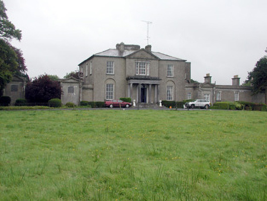 Carrowroe Parkcountry house · 978 yd
 Church in CarrowroeChurch · 1166 yd
 St. Catherines WellHoly well · 1.5 mi
 CrossCross, Wayside cross · 1.7 mi
 Roscommon CastleCastle · 2.3 mi
 Hangman's HillMountain / peak · 3.3 mi
 Cruit BayBay · 4.3 mi
 Galey CastleCastle, tower house · 4.3 mi
 Galey BayBay · 4.5 mi
 Sedgy IslandIslet · 5.1 mi
Other information
Photo: Credit not shown in the picture search · Rights wording not checked; contact us if this picture should be removed