What is recorded here
On a gentle NE-facing slope. The settlement occurs within a triangular area (80m N-S; 80m E-W) with the apex at the N. The area is defined on the W side by an earth and stone unfaced bank (Wth 2m; H 1m). This bank is a field boundary which continues beyond the settlement. There is a rectangular/trapezoidal building (c. L 22m; Wth 7m) in the N corner of the settlement (known locally as 'The Chapel') defined by an earth and stone bank (Wth 1.5m; H 1m). To the SE there are two ill-defined structures the first of which is the NW end of a small square or rectangular structure. The second larger structure or enclosure (11m x 11m) is also defined by an earth and stone bank and is attached to a field boundary. To the south of these structures are two well preserved houses. The first house (15m x 8m), aligned N-S, is sub-rectangular in plan and is enclosed by a stone wall (Wth 2.2m; H 0.6m). To the E, the second house (c. 9m x 6m), aligned NW-SE, is enclosed by stone walls of similar dimensions to the previous example. To the S of these houses there is another possible house (c. 7m x 6m) and part of a small enclosure. On the E side of the settlement is a C-shaped structure (5m x 4m); there is a narrow depression running into the structure from the W side. This may be a small kiln. Outside the NW side of the triangular area is a small square structure (4m x 4m). An additional feature on the E edge of the settlement may be part of a house or enclosure. The E side of the settlement is defined mainly by a stone wall. Cultivation ridges occur in the fields to the E and W of the settlement.
Compiled by: Matt Kelleher
Date of upload: 03 December 2012
The monument record does not grant public access. Check the route and ask the landowner before entering private land.
- What survives
- Recorded monument
Places near here
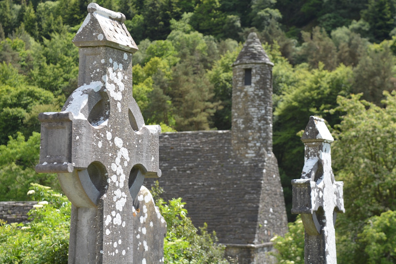 Stone CrossCross · 838 yd
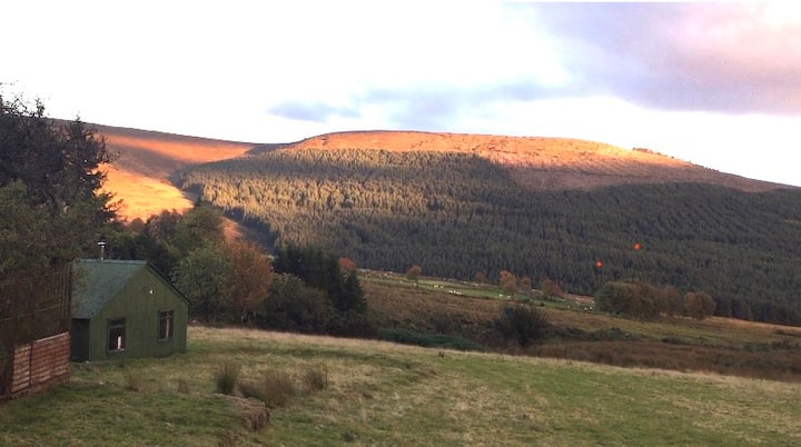 Enclosure in BallyfolanEnclosure · 925 yd
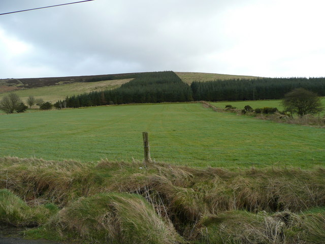 Butter MountainMountain / peak · 1624 yd
 Rock WoodForest · 1.0 mi
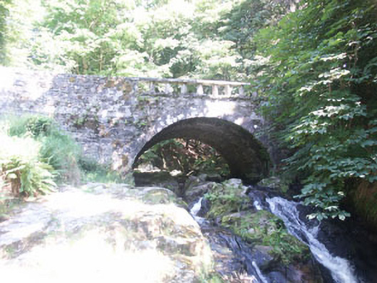 Cloghleagh Bridgebridge · 1.2 mi
 The Manorhouse · 1.2 mi
 SeefinMountain / peak · 2.2 mi
 OldcourtMemorial · 2.6 mi
 Site of CastleCastle, unclassified · 2.7 mi
 CastleCastle, tower house · 2.8 mi
 Ballinascorney WoodForest · 3.3 mi
 Saint Ann's GraveyardRuins · 3.8 mi