What is recorded here
Settlement mentioned in the Civil Survey (1654-6) when describing the boundaries of Rathkennan, the survey mentions the 'Streete of Rath Kenane, And thence by the Antient High way' (Simington 1934, vol. 2, 103). The exact location of this monument is unknown.
Compiled by: Jean Farrelly
Date of upload: 26 August 2011
The monument record does not grant public access. Check the route and ask the landowner before entering private land.
- What survives
- Recorded monument
Places near here
 RathkennanCastle, motte and bailey · 454 yd
 Church FieldChurch · 563 yd
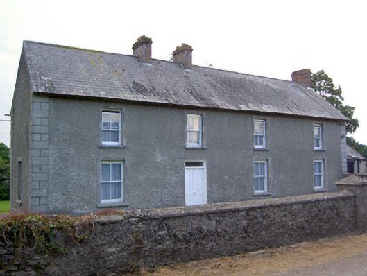 Rathkennan Househouse · 682 yd
 Enclosure in Newtown (holycross Par.)Enclosure · 1568 yd
 IndicatedEnclosure · 1702 yd
 Milltown CastleCastle · 1.1 mi
 Clonoulty HillMountain / peak · 2.3 mi
 Drum WoodWood · 3.0 mi
 Cormackstown Heritage CentreMuseum · 3.2 mi
 Killough Hill (site of)Mountain / peak · 3.5 mi
 Wildlife CorridorWood · 5.2 mi
 Lár na PáirceMuseum · 5.7 mi