
What is recorded here
From the National Monuments Service (Archaeological Survey of Ireland) record TS043-047
Places near here
Photo credits
- National Inventory of Architectural Heritage
- Maker not stated on source page, commons.wikimedia.org
- Maker not stated on source page, www.alamy.com
- Gortnahoe Glengoole GAA Club / ClubZap; individual photographer not named, www.gortnahoeglengoolegaa.com
- Maker not stated on source page, ca.wikipedia.org
- Maker not stated on source page, ca.pinterest.com
- A.-K. D., Wikimedia Commons · CC BY-SA 4.0
- Maker not stated on source page, www.pinterest.com
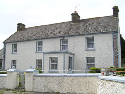 farm house1118 yd
Explorer Tom Farm house in Garryclogh, County Tipperary has windows that don't line up because it's a bit shy and asymmetric. When…
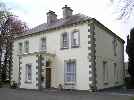 presbytery/parochial/curate's house1227 yd
Explorer Tom Presbytery in Gortnahoo has paired first-floor windows that look like they’re sharing secrets. If zombies ever show up…
 Good Shepherd CemeteryCemetery · 1408 yd
Explorer Tom Good Shepherd Cemetery would make Saint Patrick laugh until he dropped his staff, because it’s named after a religious…
 Catholic Church of the Sacred HeartChurch/chapel · 1440 yd
Explorer Tom Catholic Church of the Sacred Heart in Gortnahoo is having a bit of a rivalry with the cathedral, thinking its three…
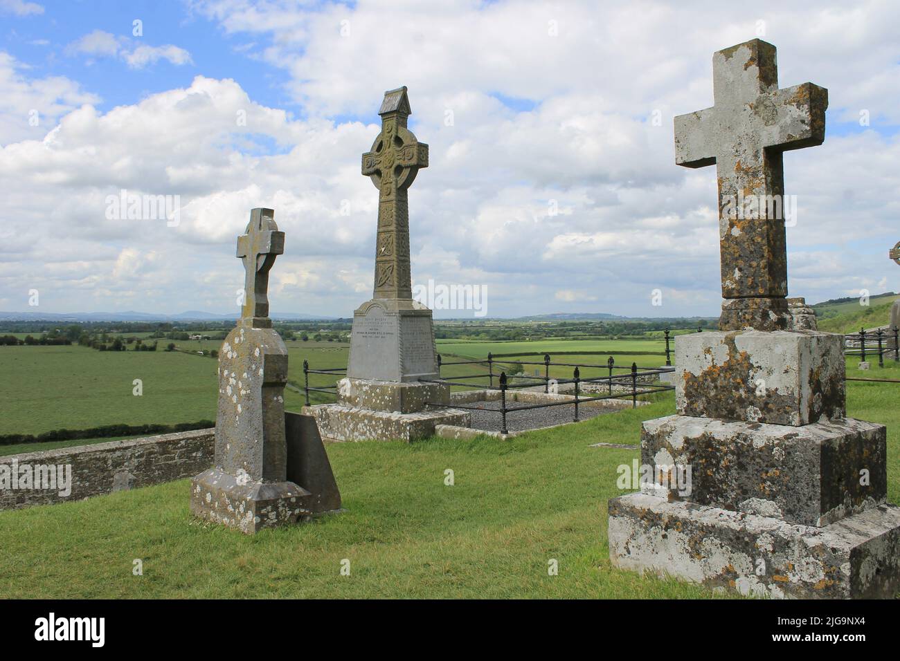 Mapped graveyardGraveyard · 1449 yd
Explorer Tom This mapped graveyard is home to a ghost so lazy he just sits on top of a headstone reading a newspaper. He’s too tired…
 Gortnahoe-Glengoole GAA pitchGAA ground · 1639 yd
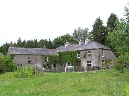 George's ParkHouse · 1.1 mi
Explorer Tom George's Park in Kilcoolyabbey got lost looking for itself when the Vikings were here. The summerhouse and bellcote…
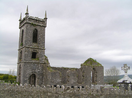 Fennor ChurchChurch/chapel · 1.4 mi
Explorer Tom Fennor Church is ruinous but still shows off those carved stone features from the nineteenth century. It’s got a…
 Fennor Castle (in Ruins)Bawn · 1.5 mi
Explorer Tom Fennor Castle Bawn would win a county fair in the 'Most Disappointing Prize' category with its hands behind its back…
 Grave Yard, Church (in Ruins)Graveyard · 1.6 mi
Explorer Tom Graveyard, Church in Urard is basically a farmyard outhouse that thinks it’s still hosting Sunday services up there on…
 Font in KilcoolyabbeyFont · 1.6 mi
Explorer Tom Font in Kilcoolyabbey is guarding a hidden treasure that is definitely just a biscuit tin left behind by a very hungry…
 Castle (in Ruins)House, fortified house · 1.7 mi
Explorer Tom This Castle in Graiguepadeen had an escape plan involving a rope and a lot of luck. Its first owner probably ran away…
More archaeology and monuments in County Tipperary · All of County Tipperary

What do you know about this place?Tap to add a comment or ask a question