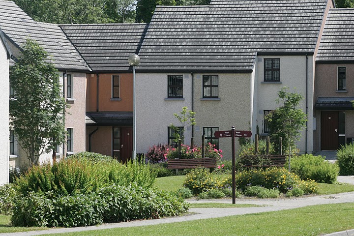
What is recorded here
On a gently E-facing slope of a small knoll 590m W of the townland boundary with Grange and 1.4km W of Lough Gur. Ringfort (LI031-075----) 310m to WSW and the habitation sites at Rockbarton (LI031-080001/003-) are 340m to SSE. Not depicted on OSi historic maps. The settlement earthworks (ext. dims. 18m N-S; 50m E-W) are visible on the OSi orthoimages taken 2005-12 and on Digital Globe orthoimages taken 2011-2013. Identified by Bruff aerial photographic survey in 1986 (Bruff 69.01-2: AP 4/3601) as an earthwork. The earthworks are visible on Google Earth orthoimages taken 25/03/2017 and 24/09/2018. The features may represent the foundations (now grass covered) of a series of small buildings and / enclosures. These buildings may date from the late medieval or early post-medieval period and were out of use and ruinous by the early 19th century. Similar in morphology to the medieval houses (LI031-041007-) at Cahirguillamore.
See attached Bruff survey image showing the site labelled Bruff 69.01-2 and Google Earth orthoimages
Compiled by: Edmond O’Donovan
Date of upload: 20 October 2020
The monument record does not grant public access. Check the route and ask the landowner before entering private land.
- What survives
- Recorded monument
Places near here
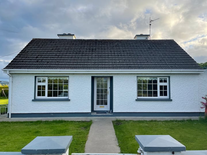 Habitation site in Rockbarton (coshma By.)Habitation site · 394 yd
 Burial in Raheen (coshma By.)Burial · 426 yd
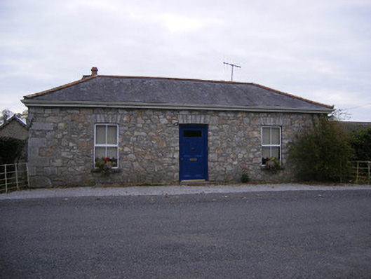 Rockbarton Housegate lodge, outbuilding · 934 yd
 Bawn in Grange (smallcounty By.)Bawn · 999 yd
 CastleCastle, unclassified · 1016 yd
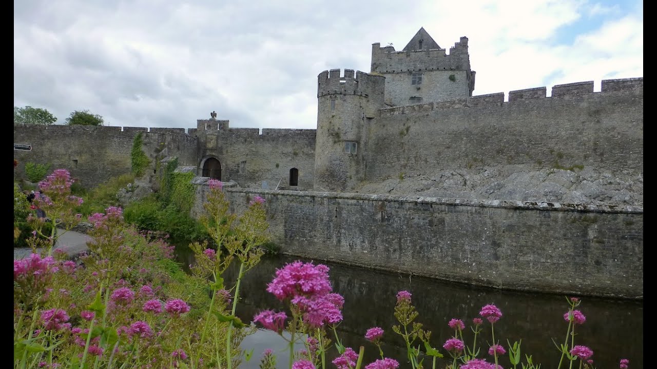 Cahir GuillamoreHouse, 17th century · 1204 yd
 Lough GurVisitor information · 1235 yd
 Grange Stone CircleArchaeological place · 1288 yd
 Pedunculate OakPedunculate Oak · 1.7 mi
 The SpectaclesVisitor information · 1.8 mi
 Lough Gur Heritage CentreVisitor information · 1.8 mi
 KnockainyMountain / peak · 4.0 mi
Other information
Photo: Credit not shown in the picture search · Rights wording not checked; contact us if this picture should be removed