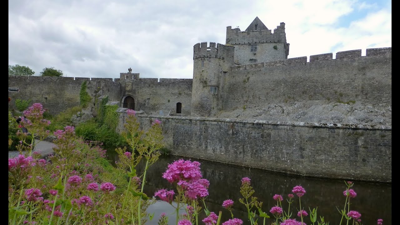
What is recorded here
According to Limerick County County Council Development Plan, the present ruins of Cahir Guillamore House represents the remains of a 17th century house. This house has been placed on the Record of Protected Structures (RPS No. 210) for Co. Limerick.
Cahir Guillamore House described by the National Inventory of Architectural Heritage (NIAH) as ; 'Cahir Guillamore was formerly a two-storey late seventeenth-century house with a high roof with dormers and projecting end bays. The house has been totally destroyed except for the courtyard of outbuildings and laundry house, which are of clear architectural design. Farmyard complex comprising multiple-bay two-storey buildings, built c. 1790, arranged around a yard. Remains of country house, now in a complete state of ruin, evidenced by roughly dressed limestone wall' (www.buildingsofireland.ie; NIAH Reg. No. 21903122).
Compiled by: Caimin O'Brien
Date of upload: 10 December 2020
The monument record does not grant public access. Check the route and ask the landowner before entering private land.
- What survives
- Recorded monument
Places near here
 Burial in Rockbarton (smallcounty By.)Burial · 183 yd
 Not shownFulacht fia · 333 yd
 RoadRoad, road/trackway · 823 yd
 CastleCastle, unclassified · 847 yd
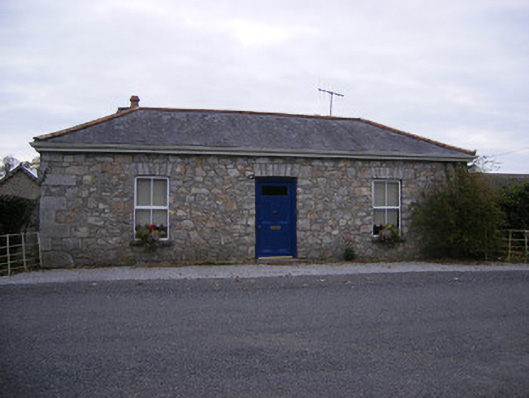 Rockbarton Housegate lodge, outbuilding · 1420 yd
 Bawn in Grange (smallcounty By.)Bawn · 1759 yd
 Lough GurVisitor information · 1.2 mi
 Grange Stone CircleArchaeological place · 1.3 mi
 European ashEuropean ash · 4.4 mi
 Villiers WellSpring · 4.6 mi
 KnockainyMountain / peak · 4.7 mi
 Flat cemetery in Knockainy WestFlat cemetery · 5.6 mi
Other information
Photo: Credit not shown in the picture search · Rights wording not checked; contact us if this picture should be removed