What is recorded here
Situated on a marked W to NW-facing slope. At least 14 conjoined huts in an area of heavy afforestation. (Sullivan 1994).
The above description is derived from the published 'Archaeological Inventory of County Wicklow' (Dublin: Stationery Office, 1997). In certain instances the entries have been revised and updated in the light of recent research.
Date of upload/revision: 17 December 2008
The monument record does not grant public access. Check the route and ask the landowner before entering private land.
- What survives
- Recorded monument
Places near here
 Enclosure in LisheensEnclosure · 212 yd
 Enclosure in Kilbride (talbotstown Lower By.)Enclosure · 902 yd
 Rock WoodForest · 1103 yd
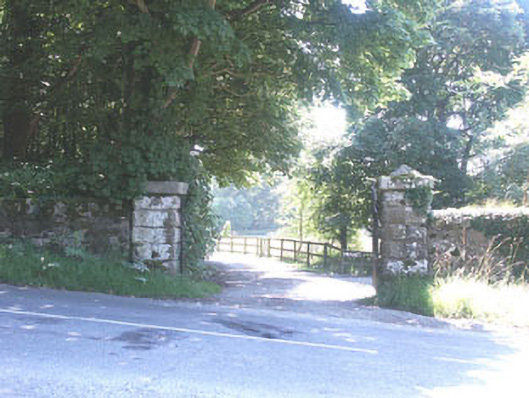 The Manorhouse · 1600 yd
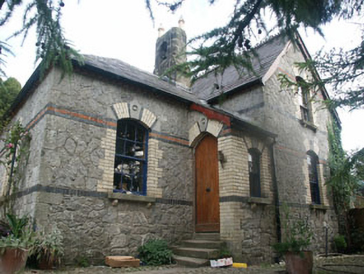 Tinode Houseworker's house · 1748 yd
 Cupidstown HillMountain / peak · 1.7 mi
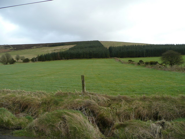 Butter MountainMountain / peak · 1.9 mi
 CastleCastle, tower house · 2.5 mi
 OldcourtMemorial · 2.6 mi
 Site of CastleCastle, unclassified · 2.7 mi
 Kilteel WoodWood · 3.3 mi
 The Square RenewalMemorial · 4.2 mi