
What is recorded here
In flat gently undulating wet rushy pasture at the junction of Kilcullane townland with Moohane. The site is located 1km SE of the Carraig Aille stone forts (LI032-053002-/003-) at Lough Gur. The settlement remains are part of a complex of archaeological monuments comprising a multi-vallate ringfort (LI032-071001-) at…
Read the whole record
From the National Monuments Service (Archaeological Survey of Ireland) record LI032-071004
Places near here
Photo credits
- National Inventory of Architectural Heritage
- Maker not stated on source page, www.flickr.com
- Maker not stated on source page, irisharchaeology.org
- Maker not stated on source page, commons.wikimedia.org
- Maker not stated on source page, en.wikipedia.org
- Maker not stated on source page, www.irishamerica.com
- Maker not stated on source page, www.tripadvisor.ru
- No machine-readable author provided. Christian1965~commonswiki assumed (based on copyright claims)., Wikimedia Commons · Public domain
 Knockbologue HouseHouse · 557 yd
Explorer Tom Knockbologue House in Loughgur hosted a fake royal visit where the king got stuck in the chimney and ate all the…
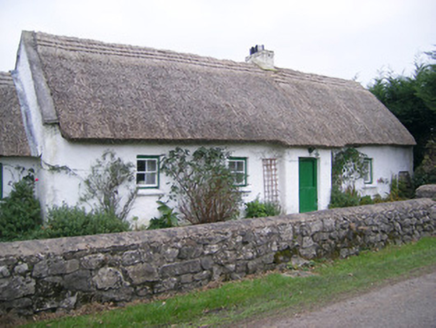 Maura's CottageHouse · 974 yd
Explorer Tom Maura’s Cottage in Loughgur is thick on thatch and thin on privacy, so I suspect two fairies are currently fighting…
 Fairy fort / earthen ringfort in MoohaneFairy fort / earthen ringfort · 1040 yd
Explorer Tom Fairy fort / earthen ringfort in Moohane hates visitors who wear bright yellow raincoats because they remind it of…
 Standing stone in CahercorneyStanding stone · 1205 yd
Explorer Tom Standing stone in Cahercorney is leaning east like it’s listening to a fiddler who played all night. It’s got a…
 Earthwork in Ballinscoola (smallcounty By., Cahercorney Ed)Earthwork · 1262 yd
Explorer Tom The ghost at this earthwork is too lazy to haunt it because the place is flooded with drains. It’s a rectangular…
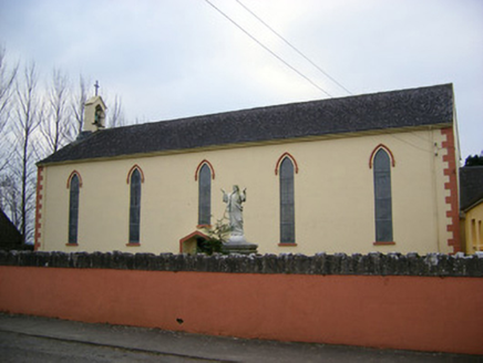 Saint Patrick's Catholic ChurchChurch/chapel · 1290 yd
Explorer Tom Saint Patrick's Catholic Church was saved by a hero nobody remembers anymore. He just fixed the belfry and vanished…
 Stone CirclesBurial mound · 1430 yd
Explorer Tom Stone Circles in Loughgur would be the uncle at a wedding who stands in the corner, sipping one drink, and judging…
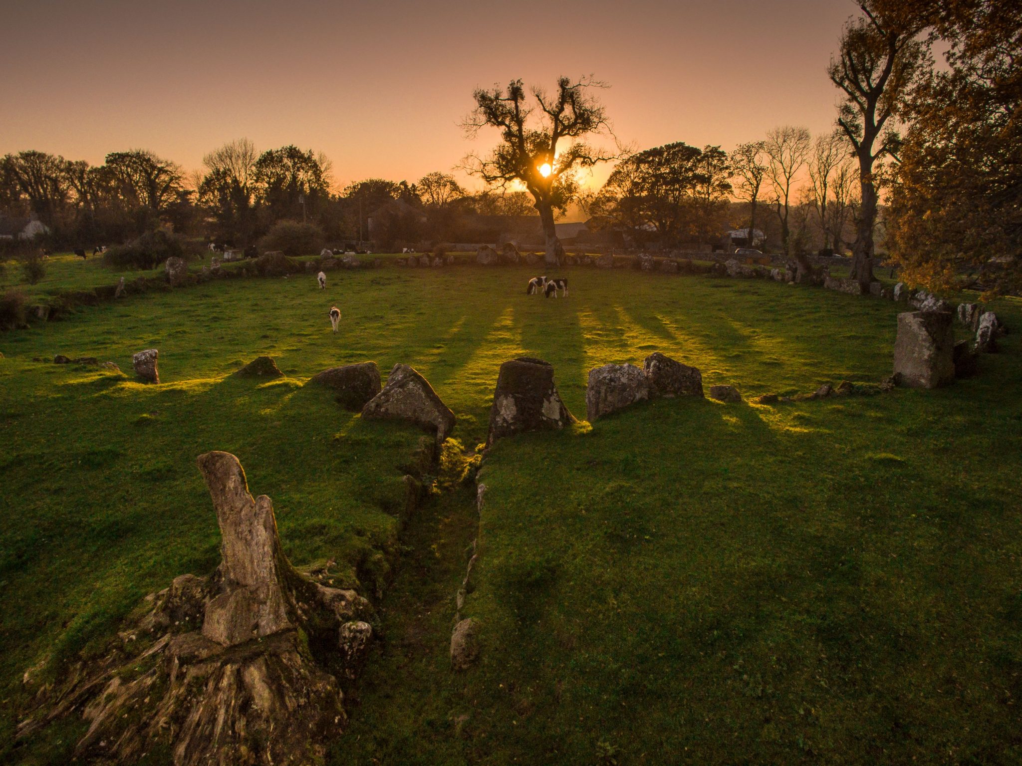 Cist in LoughgurCist · 1512 yd
Explorer Tom Cist in Lough Gur loves 'Bohemian Rhapsody' because it fits right in with the rock opera vibe of being buried in a…
 CastleCastle, unclassified · 1637 yd
Explorer Tom Herbertstown Castle has strong opinions about modern buildings and their lack of soul. It used to be next to an…
 Cloughansoun BridgeBridge · 1678 yd
Explorer Tom Cloughansoun Bridge once let a fox take charge of traffic during a foggy morning, and it loved the attention. The…
 mausoleum1679 yd
Explorer Tom The Cahercorney mausoleum was designed by a mother-in-law who wanted the Crokers to know their place in history. Those…
 Áine and Gearóid Iarla: Lough GurLegend location · 1.3 mi
Explorer Tom Áine and Gearóid Iarla: Lough Gur has a goddess for the lake and a sleeping lord in the old stories. I thought I was…
More archaeology and monuments in County Limerick · All of County Limerick

What do you know about this place?Tap to add a comment or ask a question